Snowshoeing with a ViewNip Benchmark
Snow unprecedented since the 1980s hit Boise in December 2016 and continued well into the beginning of 2017. Along with holiday obligations, the chaos caused by the snow had kept me out of the mountains and cooped up inside for over a month. When Tom threw out the idea of going to the Owyhees for a day trip I was excited to say the least. When that trip evolved into a snowshoeing hike outside Stanley, I couldn't wait to get started.
Nip Benchmark, ID
VITAL STATS - L/5mi - V/1,250' - E/7,353' - P/353'
With a name like "Nip Benchmark," I don't blame you for being underwhelmed. And it's true. It's really not much of a peak:

Yeah, that's really the top.
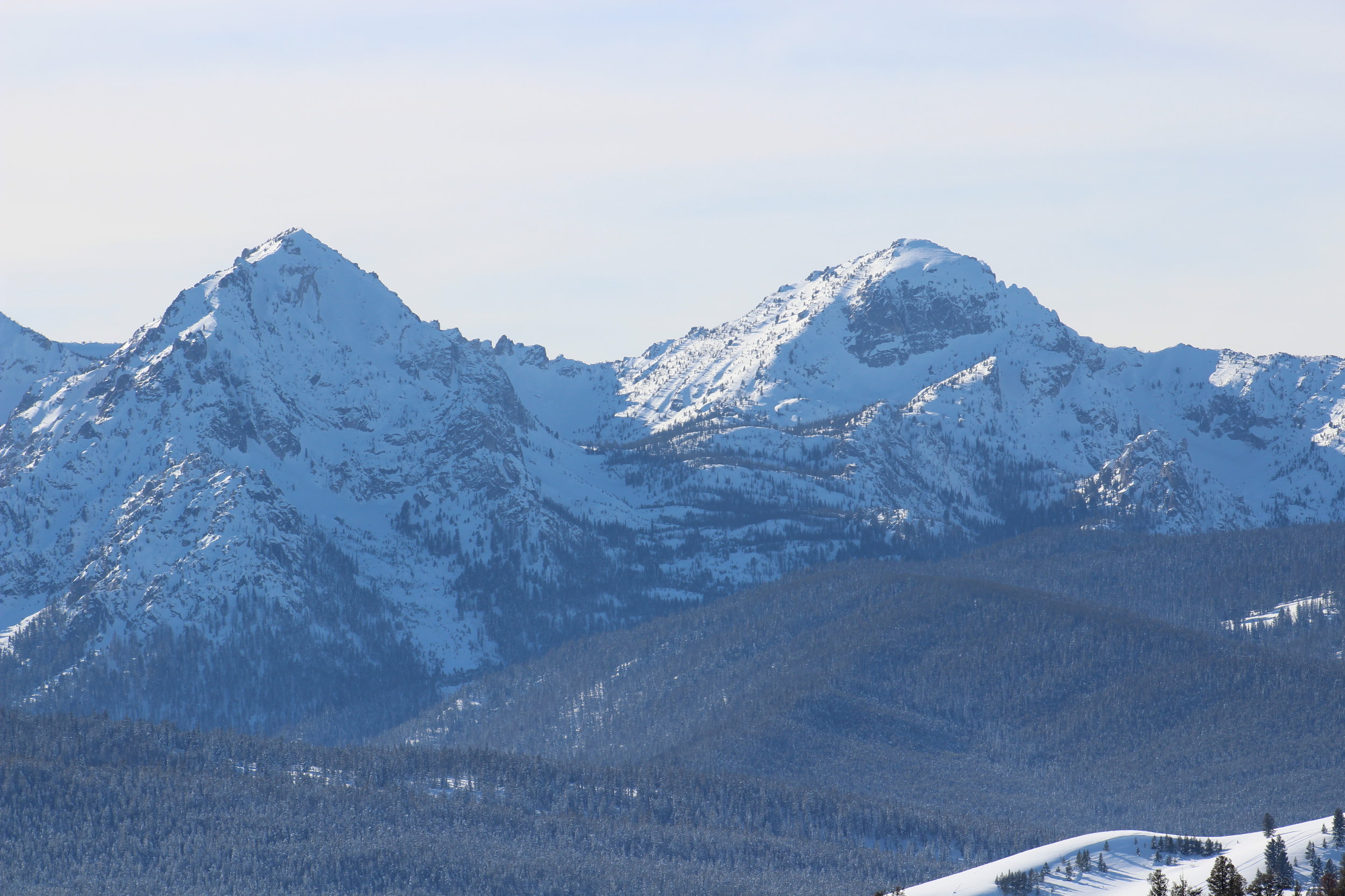
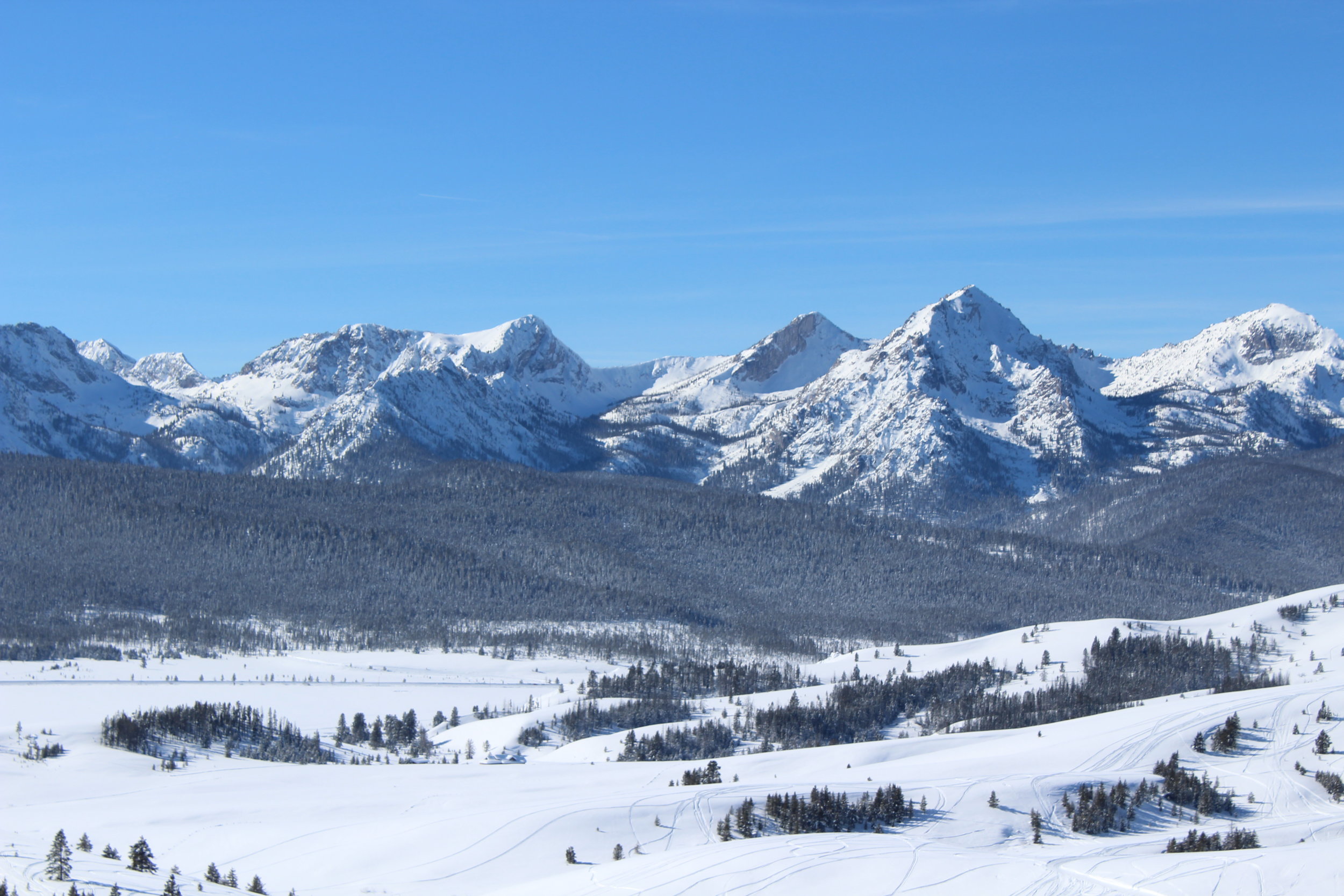
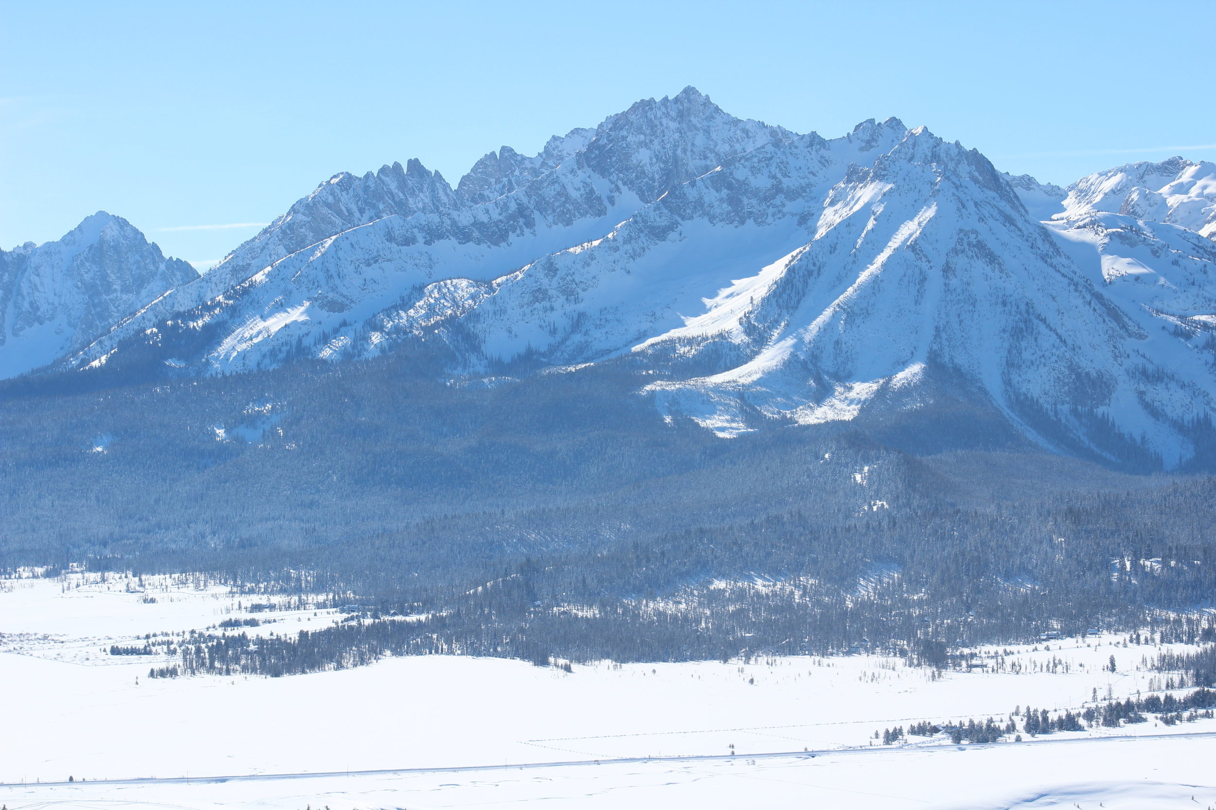
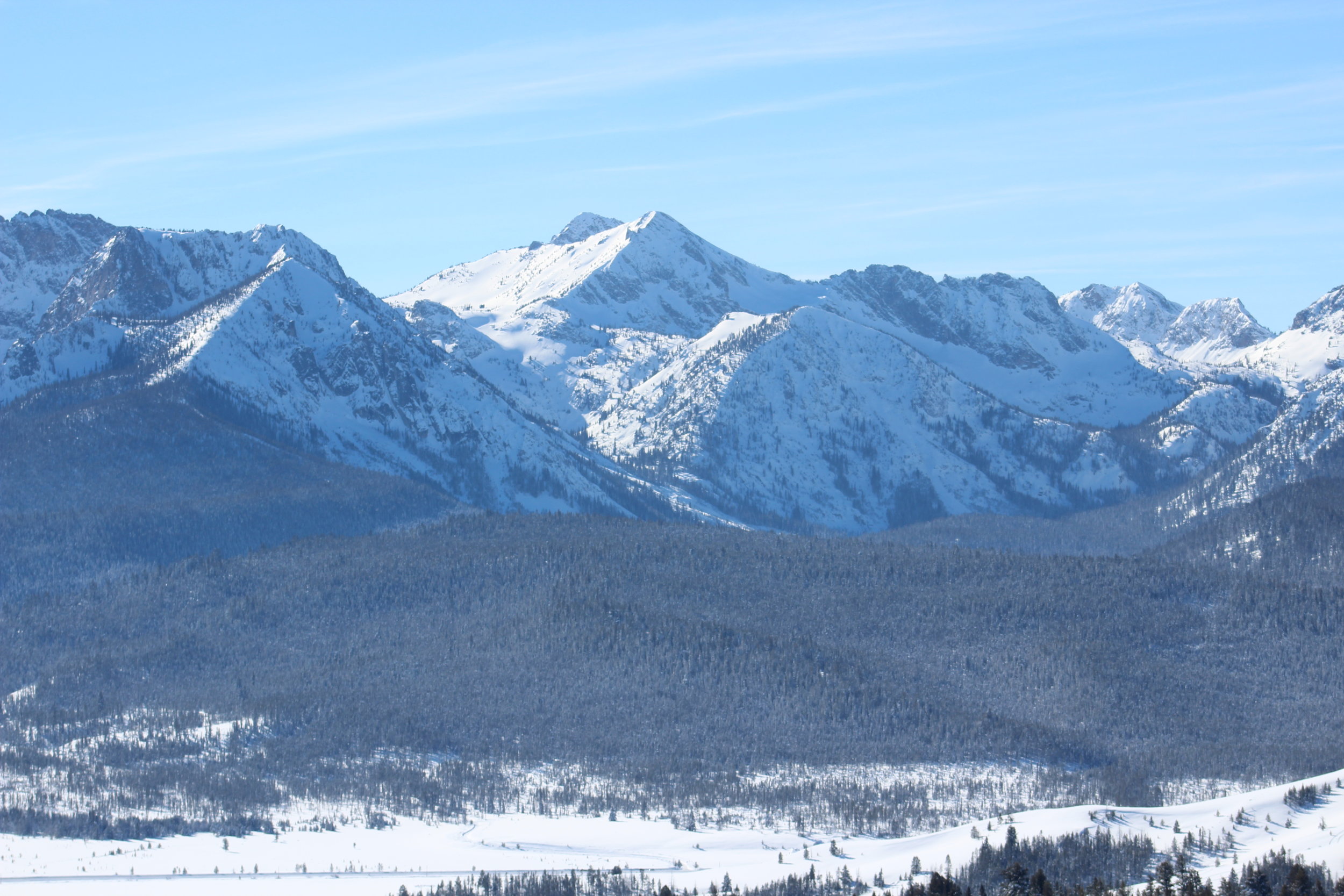
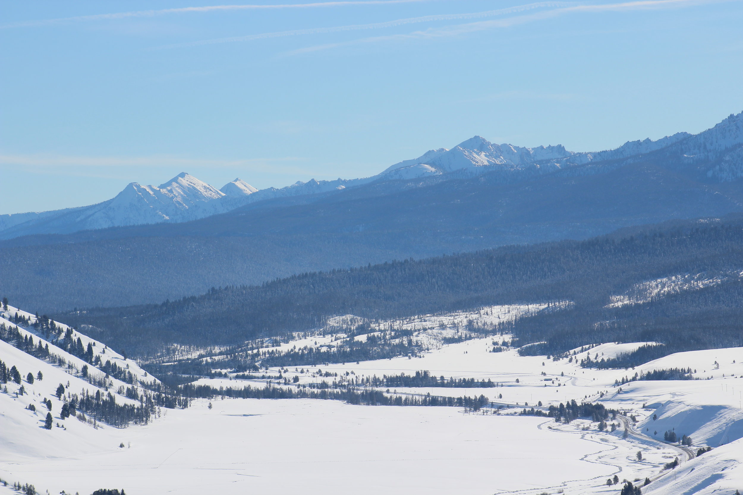
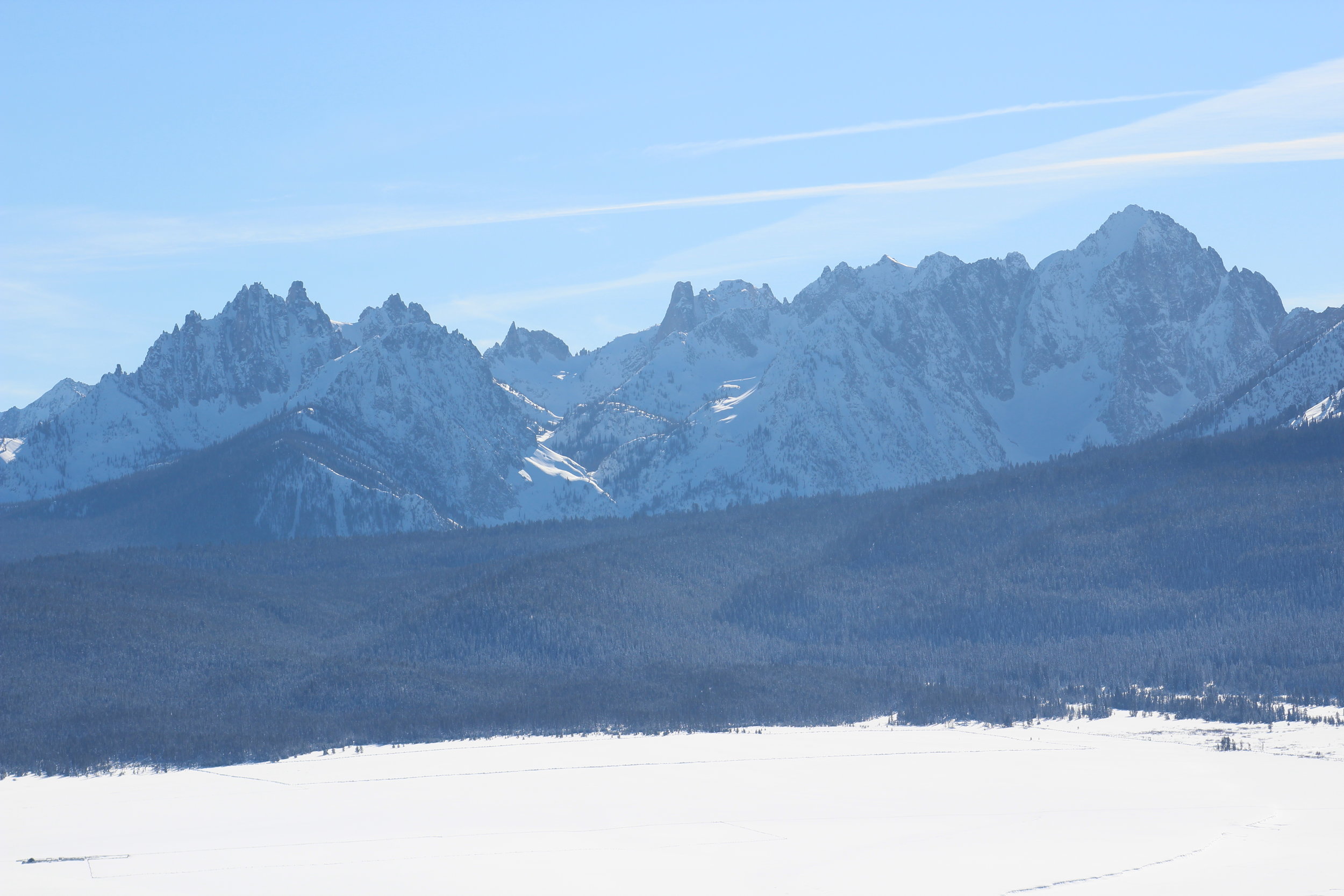
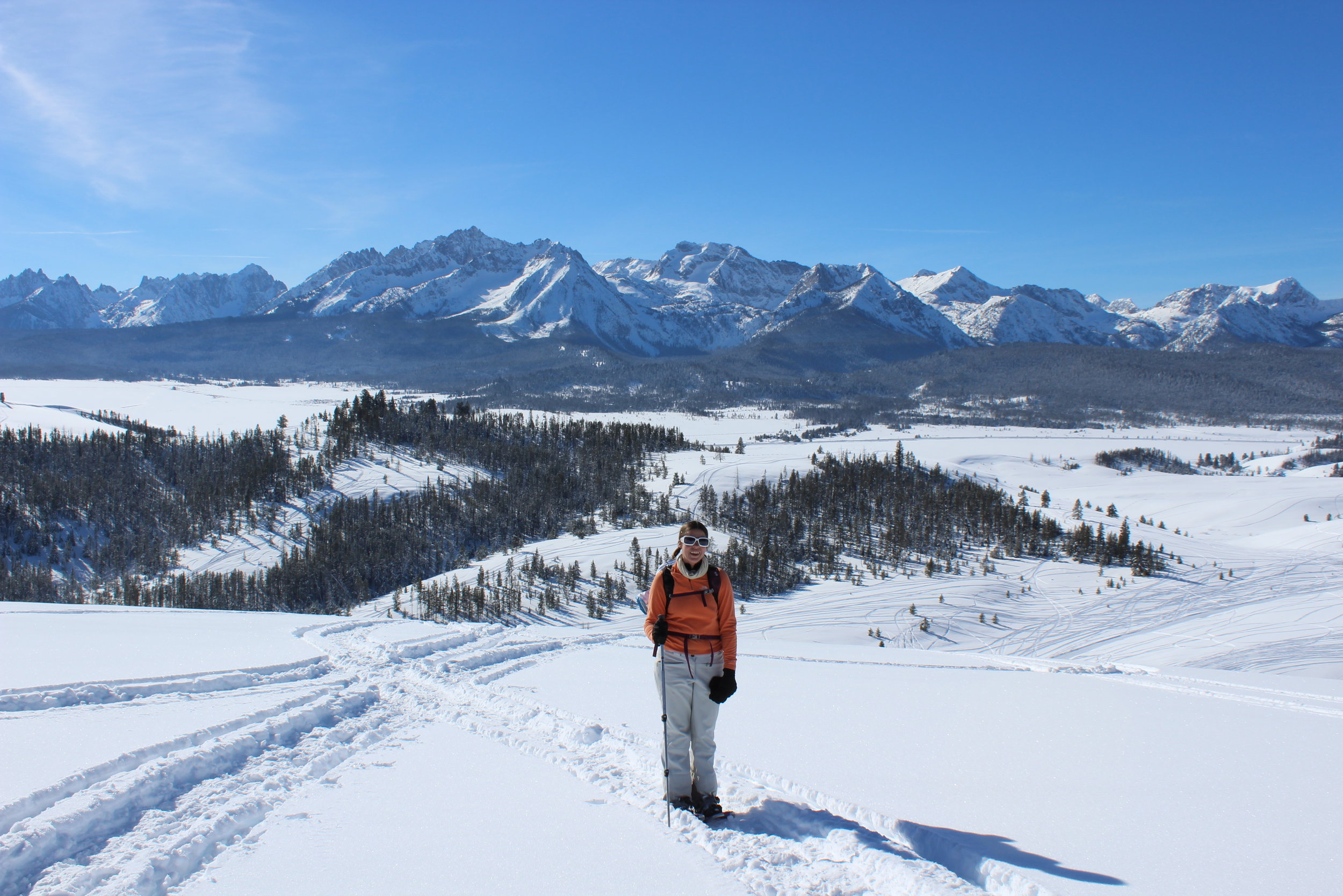
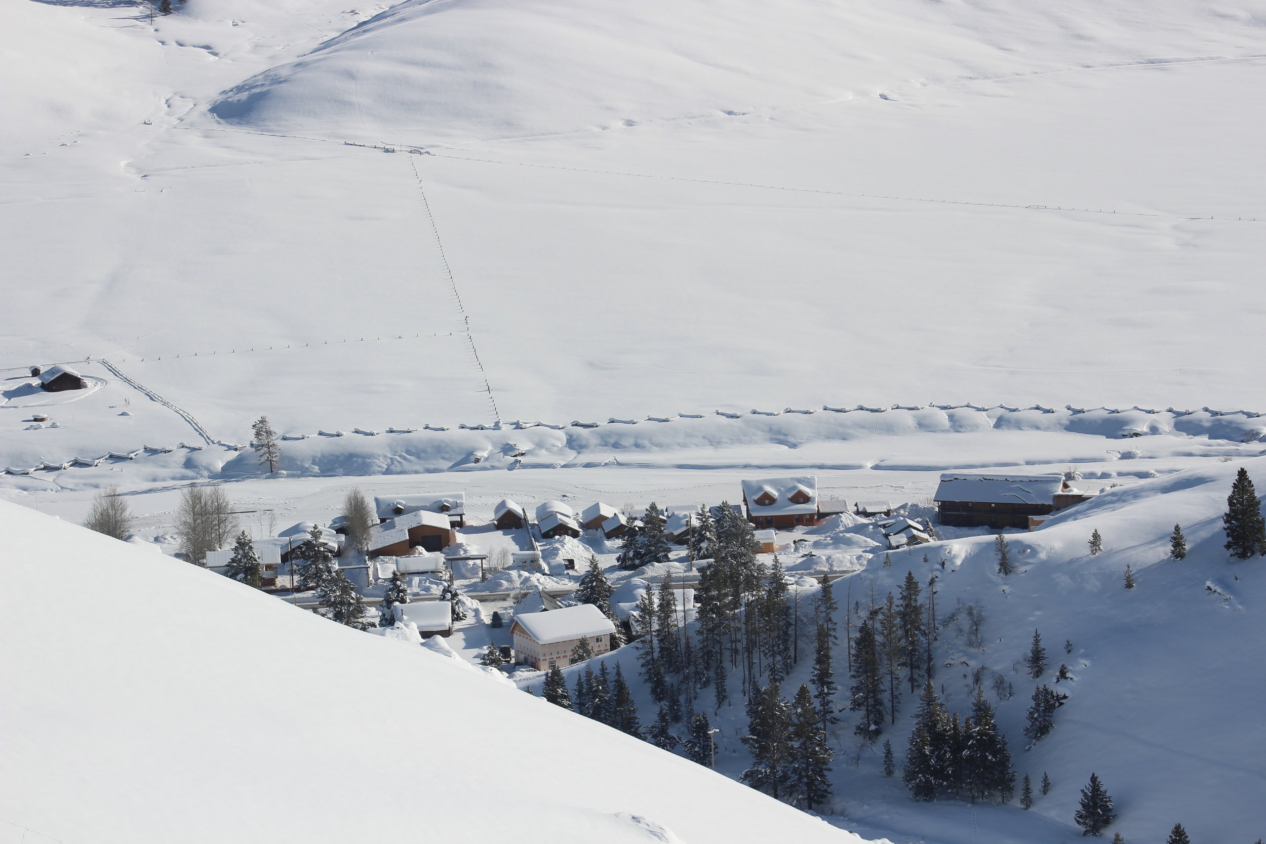
You can hardly even tell where to top is. There is a double track dirt road leading to the top, and it has just over 300' of prominence. In fact there is only one thing that makes this peak stand out, and that is the magic word Location. It sits just above the town of Stanley, ID in the Sawtooth Valley. It's position at the north end of the valley (and the southern tip of the Salmon River Mountains) provides one of the best vantage points from which to stare spellbound at the Sawtooth Mountains.
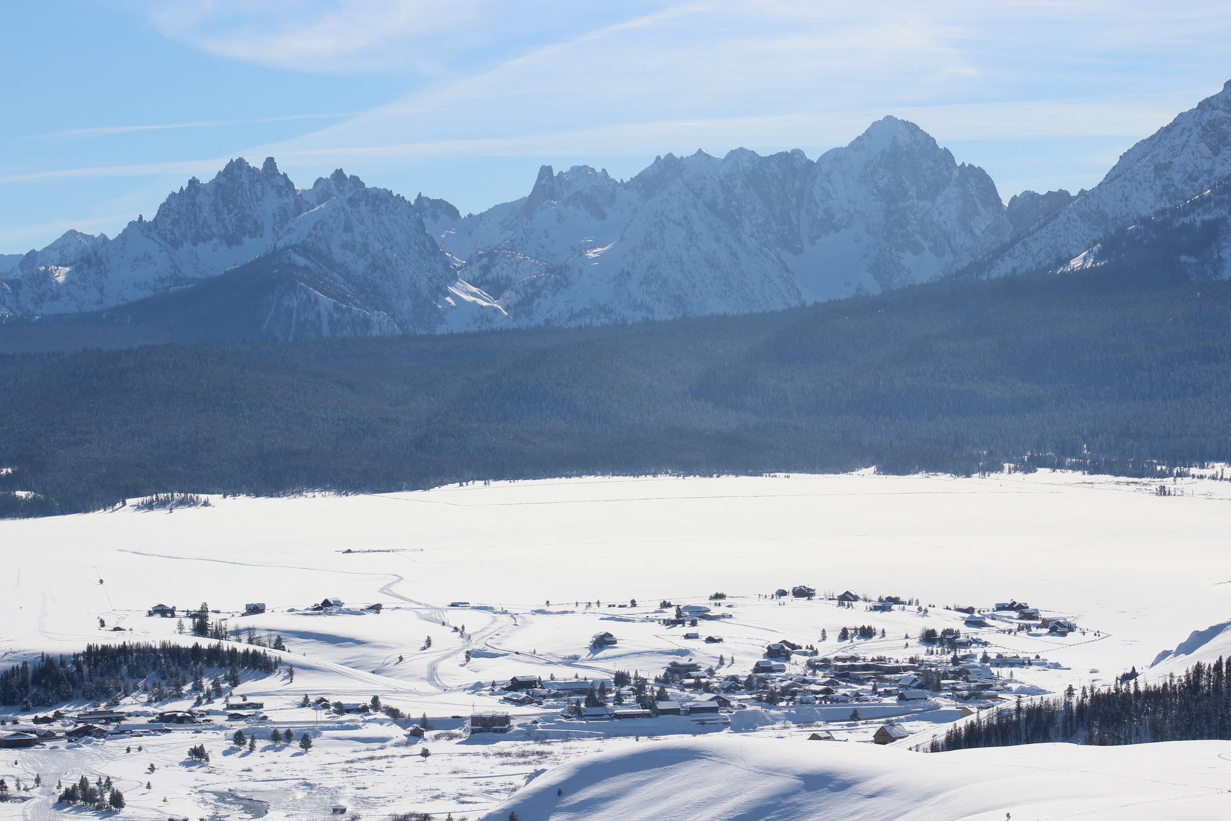
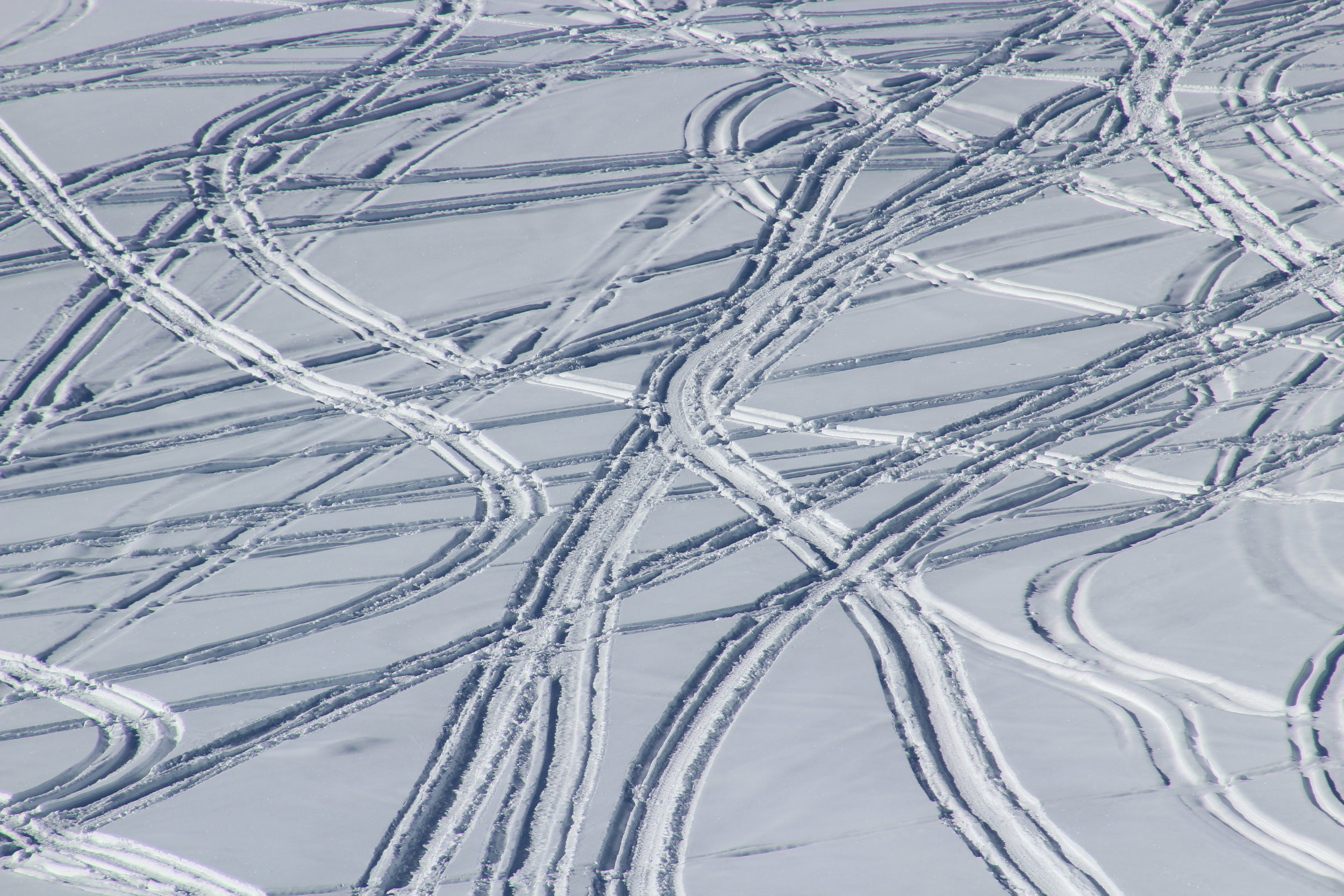
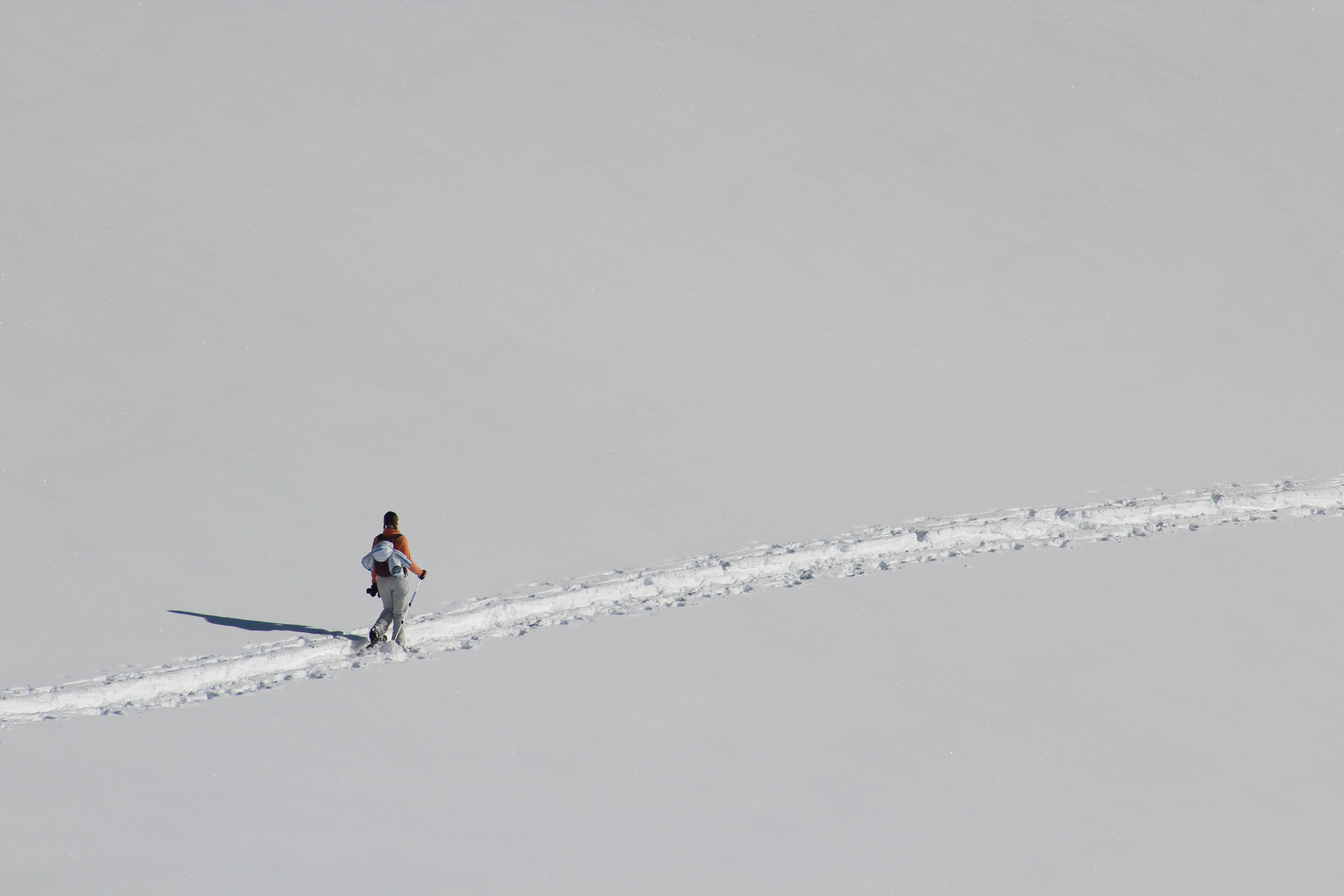
We started our hike at the end of Nip and Tuck Road in Lower Stanley. The regular parking area shown on the google satellite image was buried in snow so we pulled into whatever nooks we could find. In the winter, Nip and Tuck road is a groomed snowmobile route. We followed that until it wrapped around the bottom of the South Ridge then proceeded up a snowmobile track onto the ridge itself - the spot we started climb is between the "Nip" and "and" on the FS Topo map.
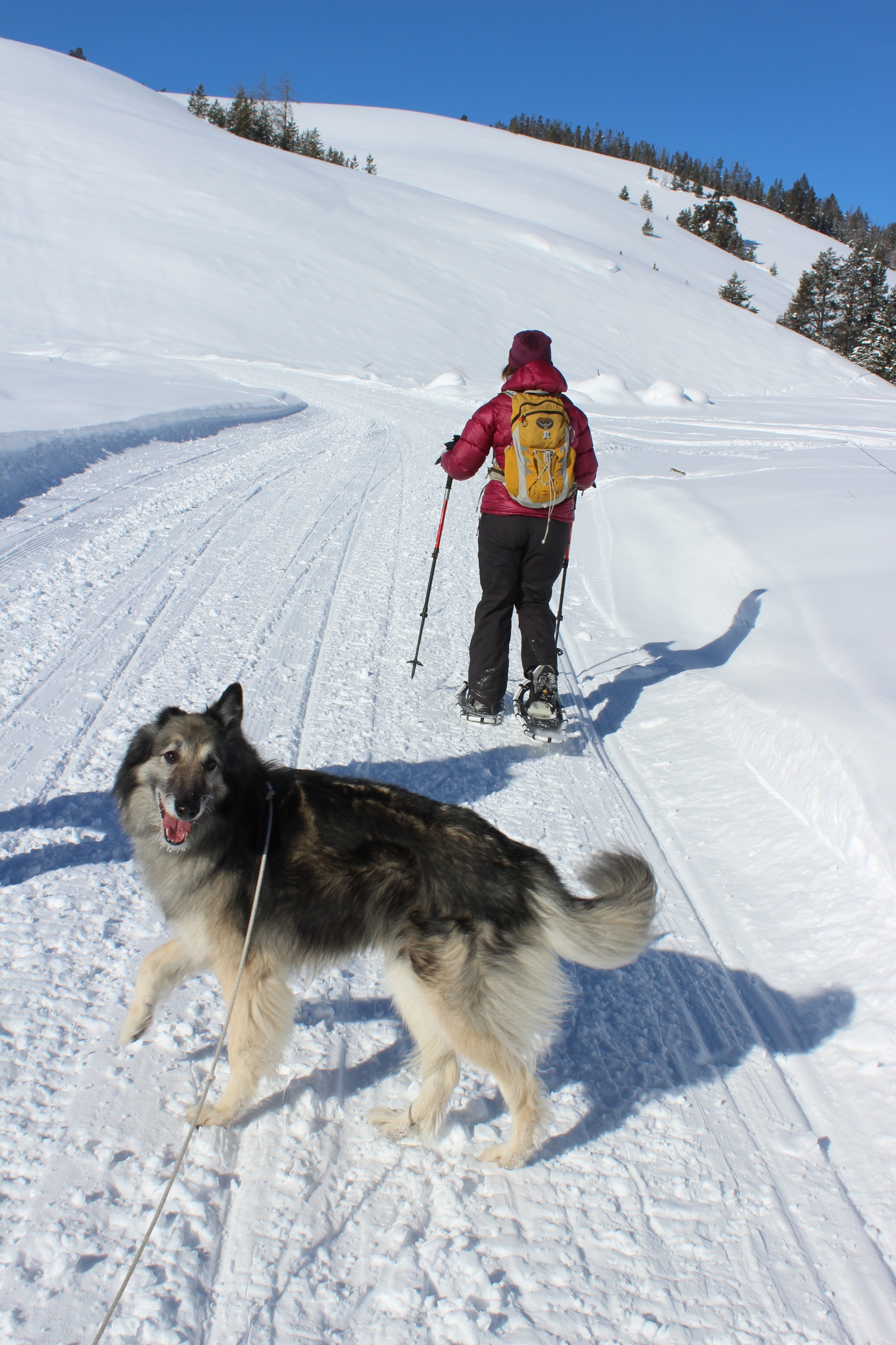
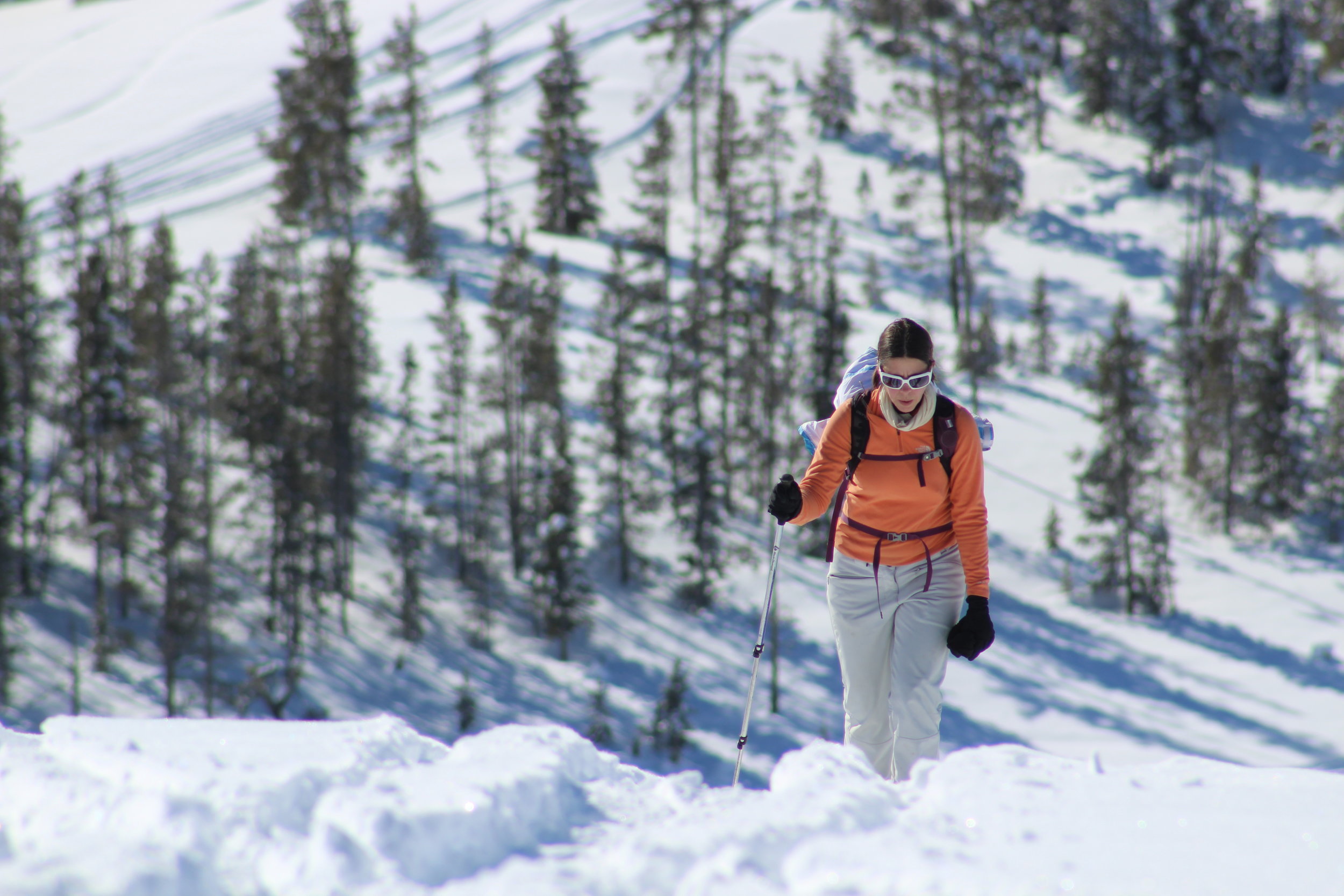
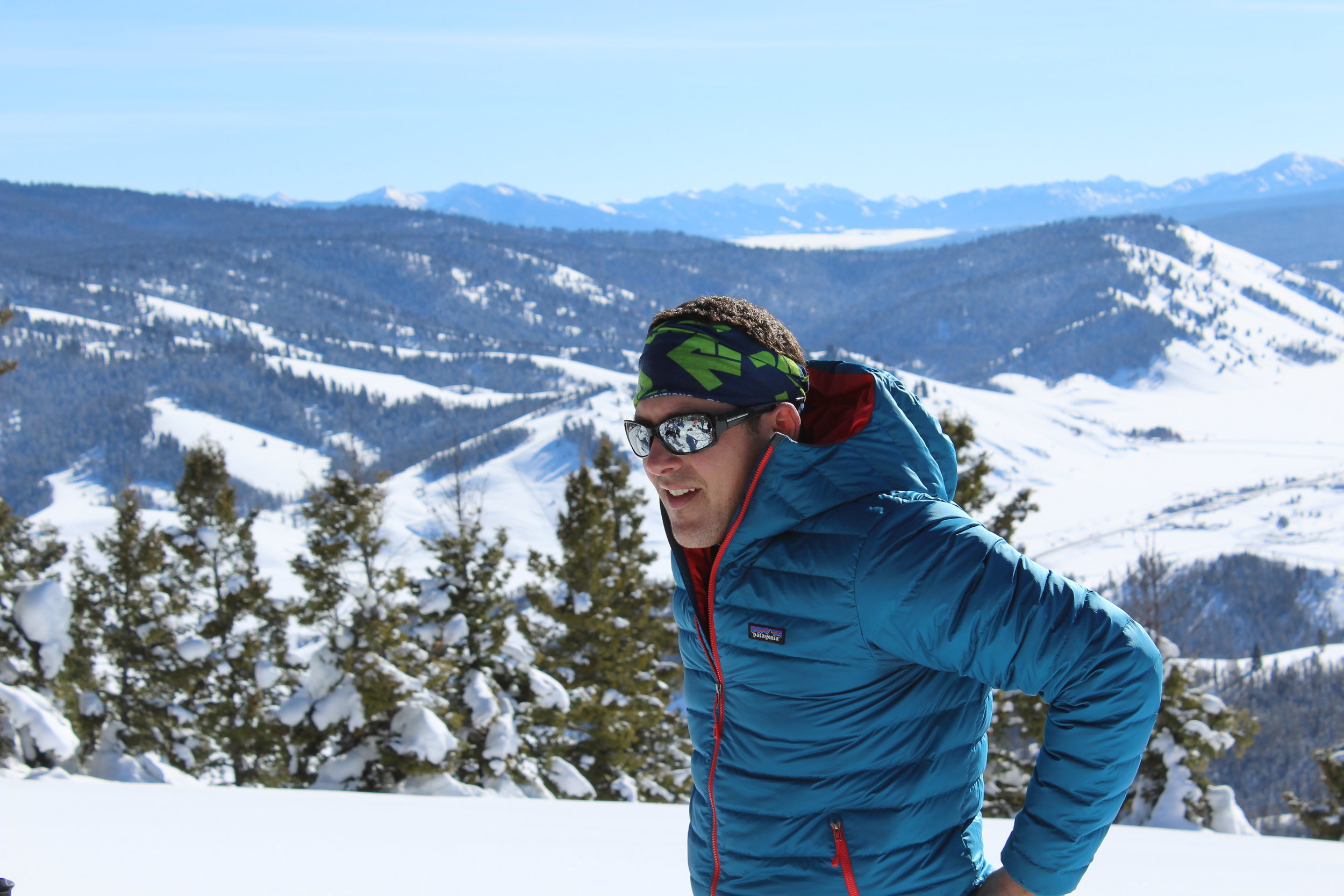
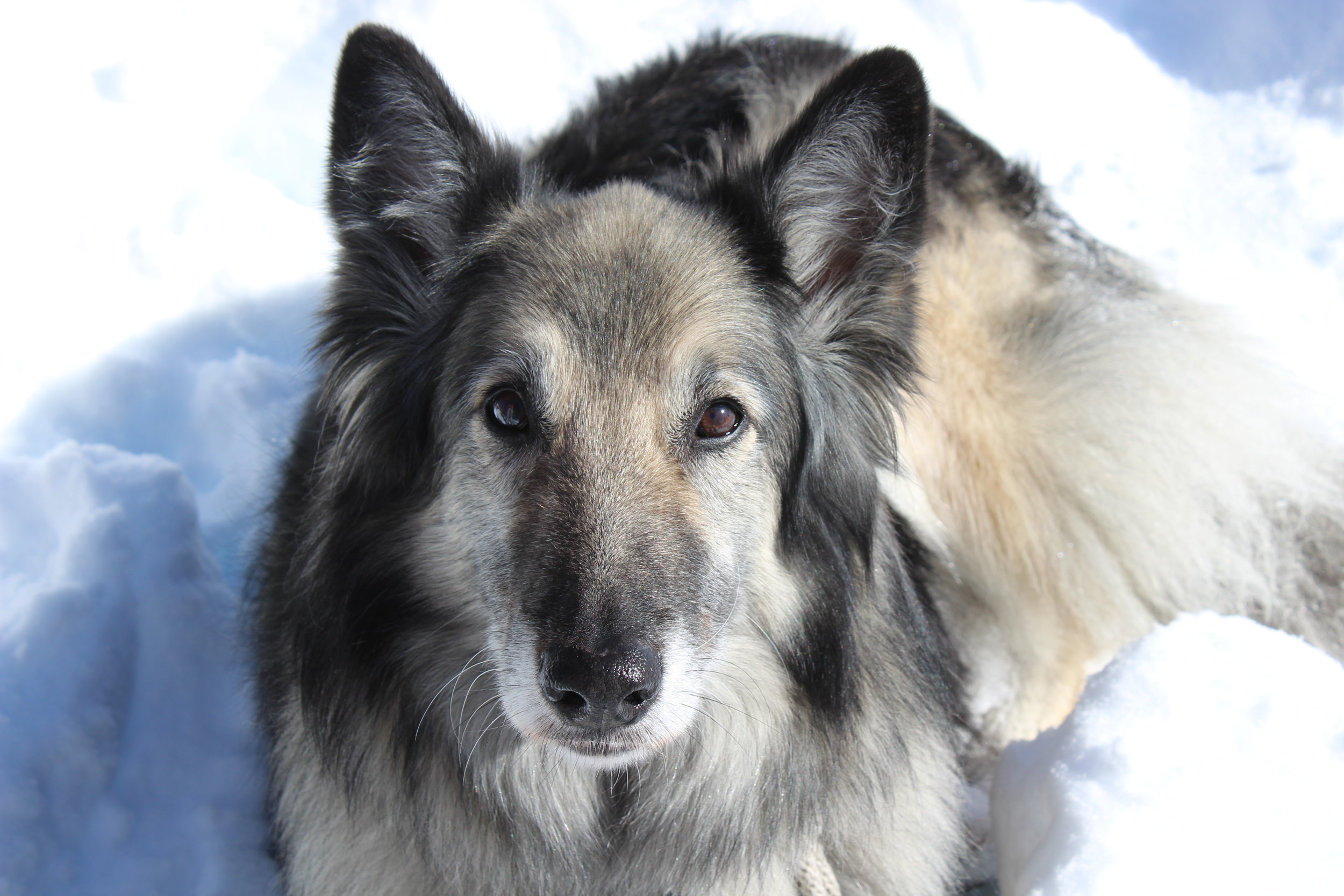
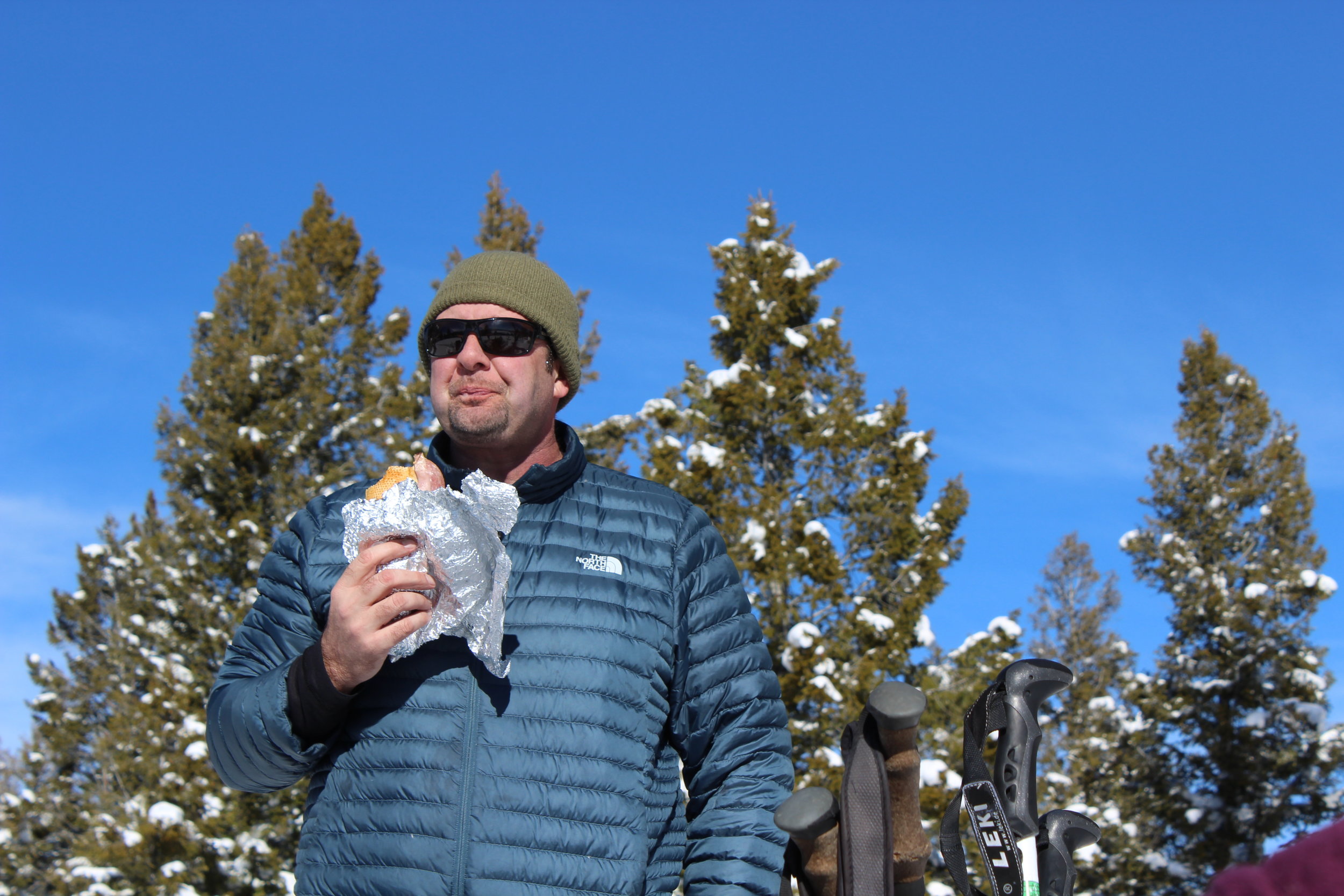
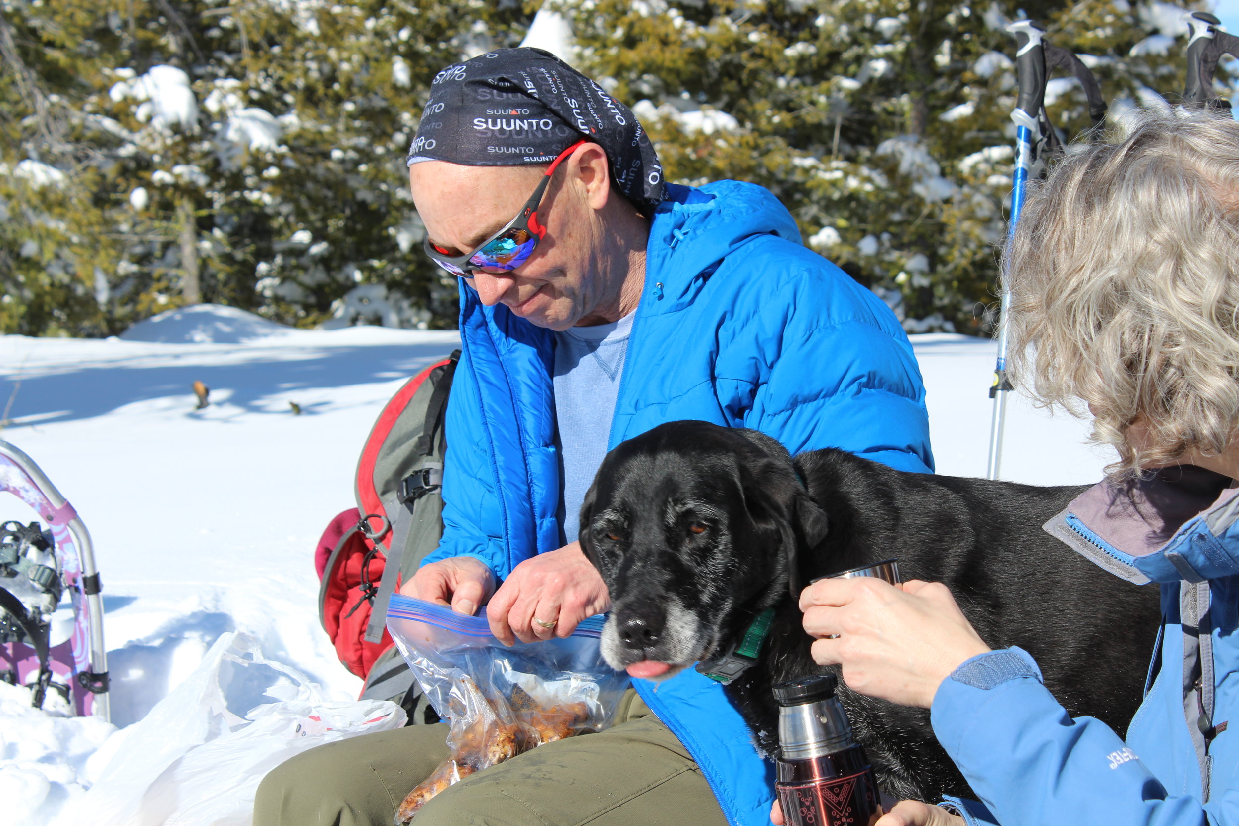
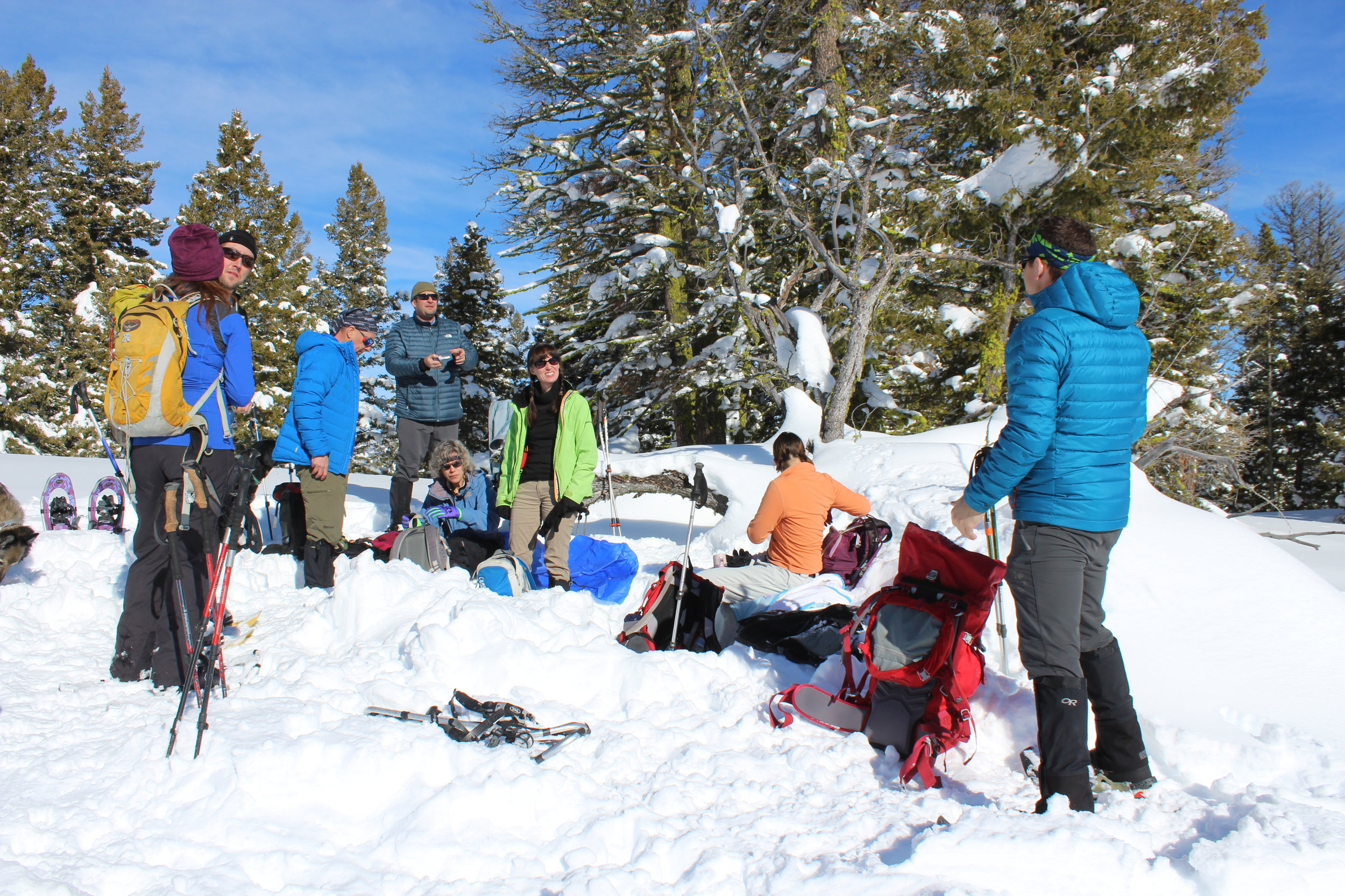
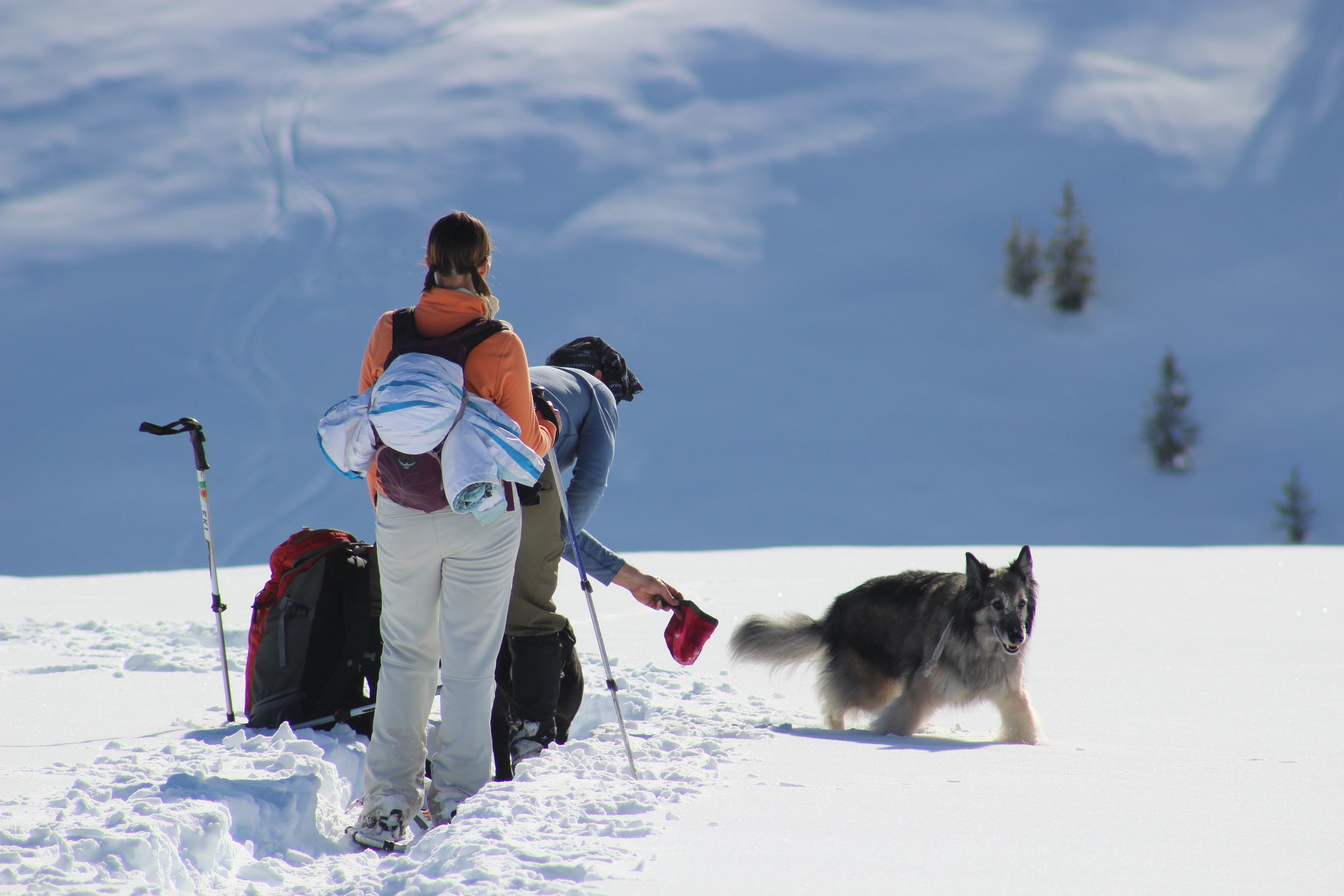
Our party consisted of 9 people (including internet sensations Tom, Dan and John) so we had little trouble breaking new trail when necessary. Once on the ridge it was a straightforward hike to the top. The summit is at the edge of a forest and the true highpoint is 100 or so yards in. If you hike up soon you can even use the pit John dug for a scenic lunch.
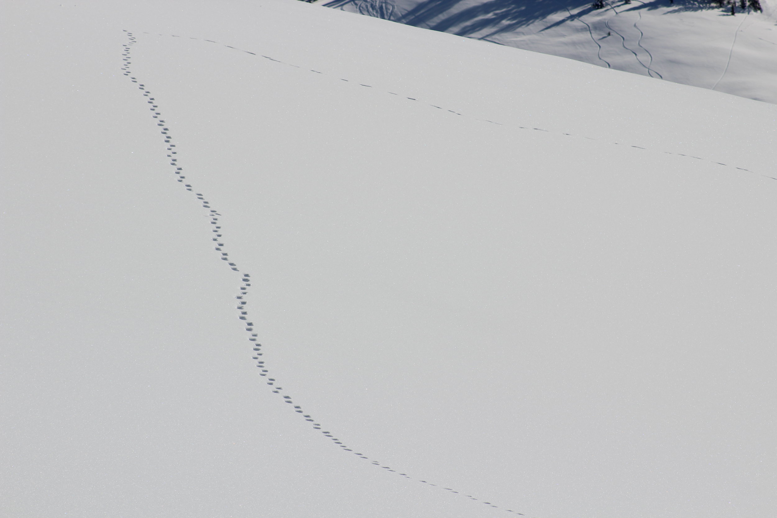
Since it was such a short hike up we decided to extend it. Rather than go back the way we came, Dan led us on a loop back to the vehicles using the southeast ridge. It was a nice route that took us through rock spire and across wide fields of snow. My snowshoe broke shortly after we started hiking again. I struggled with that the rest of the way down but it was still a beautiful hike.
To extend the fun we had a beer in Stanley before heading down. Bad timing caused us to miss the Stanley Outdoor Bonspiel that was happening that weekend but we did manage to stick around just long enough to watch the sun dip behind the Sawtooths.

Explore more . . .
Idaho Snowshoeing - Cape Horn FS Cabin - Pilot Peak - Pt. 9096
Snow climbs - Mount Hood, OR - Mount Baker, WA - Mount Adams, WA - Lost River Peak, ID