Grand Canyon - South Bass Trail and Explorations
2008 marked an exodus from Cincinnati for my family. I moved to New Mexico. My parents moved to Florida. My brother already lived in Washington State. We all decided it would be too difficult to get together as a family for Thanksgiving and Christmas. So for Thanksgiving that year I took my first trip to the bottom of Grand Canyon along with some fellow New Mexican Immigrants. It became a tradition, and for our 9th year we explored a new and awesome (in the most literal sense of the word) section of the canyon:
Grand Canyon National Park - South Bass Trail Backpacking
Vital Stats - L/15mi(rt) - V/4,400' - N/2
This is a long report, but there are plenty of pictures to keep it interesting, I promise!
Day 0
Before actually beginning our hike we spent Thanksgiving Evening/Night on the rim at the trailhead. There are some nice camping spots right at the trailhead complete with picnic tables for Turkey Day feasting. We had the traditional turkey, potatoes, stuffing, cranberries, gravy, and pumpkin and pecan pies before settling in for a night under the stars (or in tents/cars, as it were). Temps were cold but the night sky was constantly punctuated by shooting stars - well worth the sacrifice.
Day 1
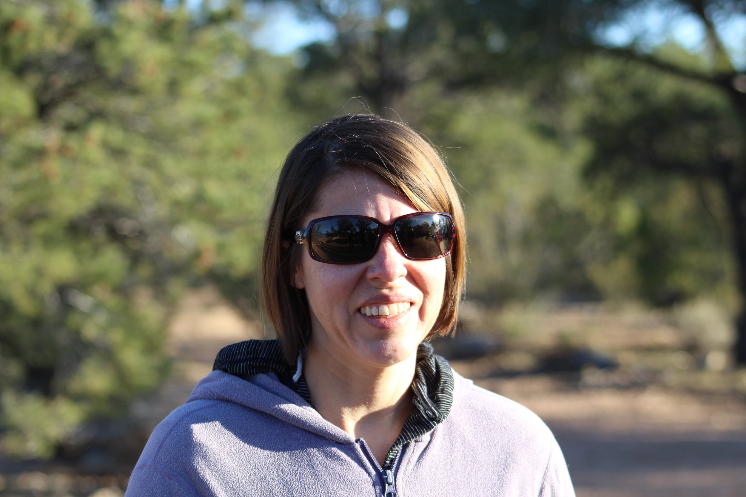
We got a somewhat late start heading down in the morning. But hey - if you had bacon, eggs and fresh crepes with nutella, you'd get a late start too. Incidentally I also had my new DSLR on this trip so I wasn't too helpful cooking and cleaning. But I got pictures!

Maxime makes crepes, Tory makes bacon. It was cold . . . can you tell?

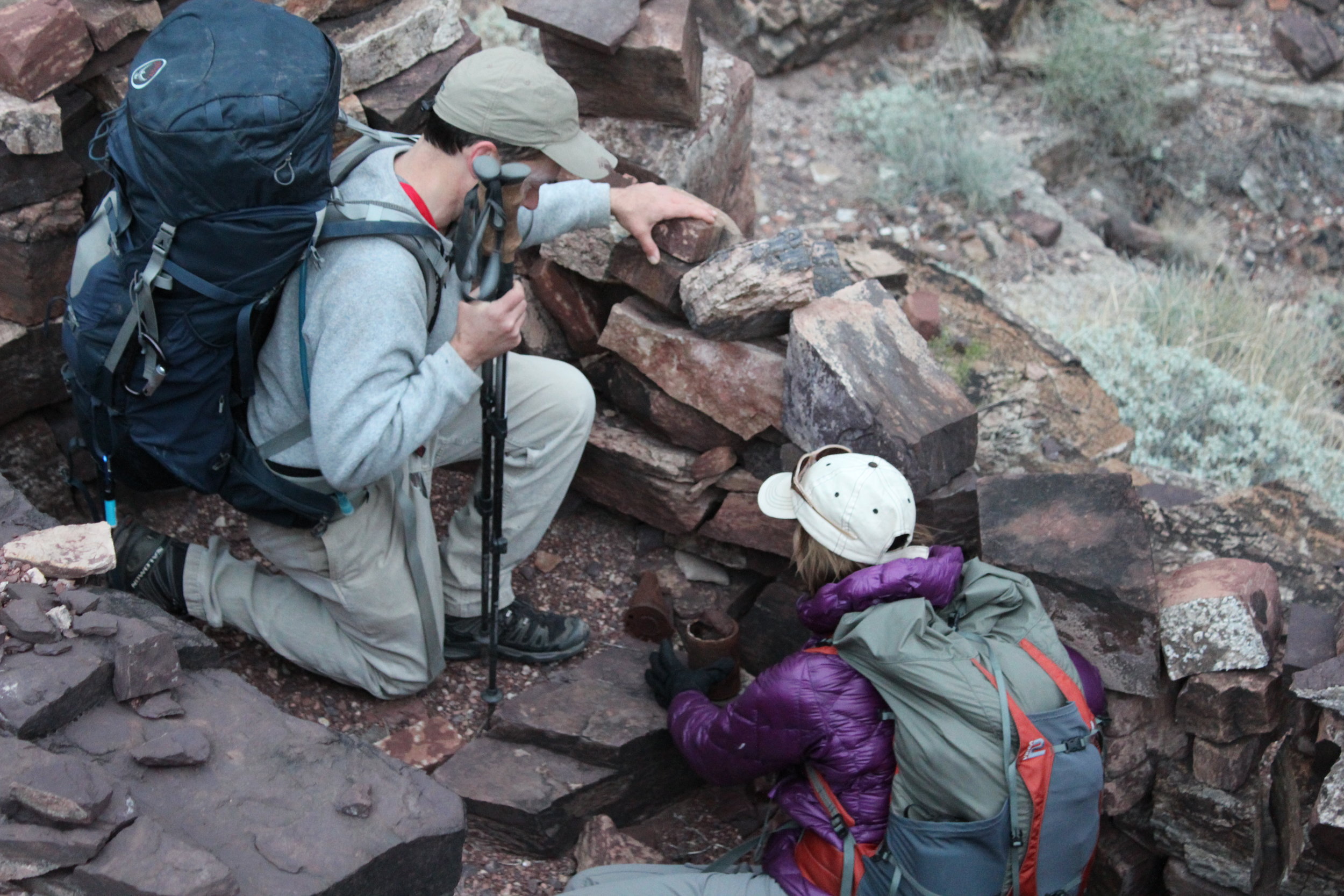
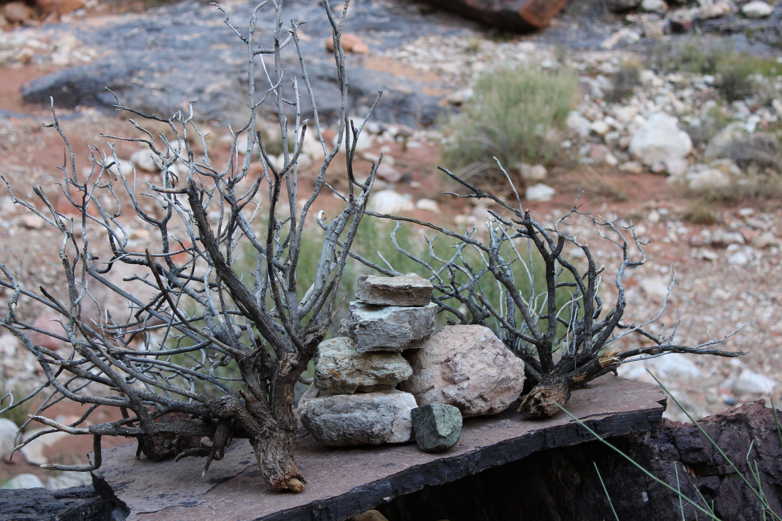
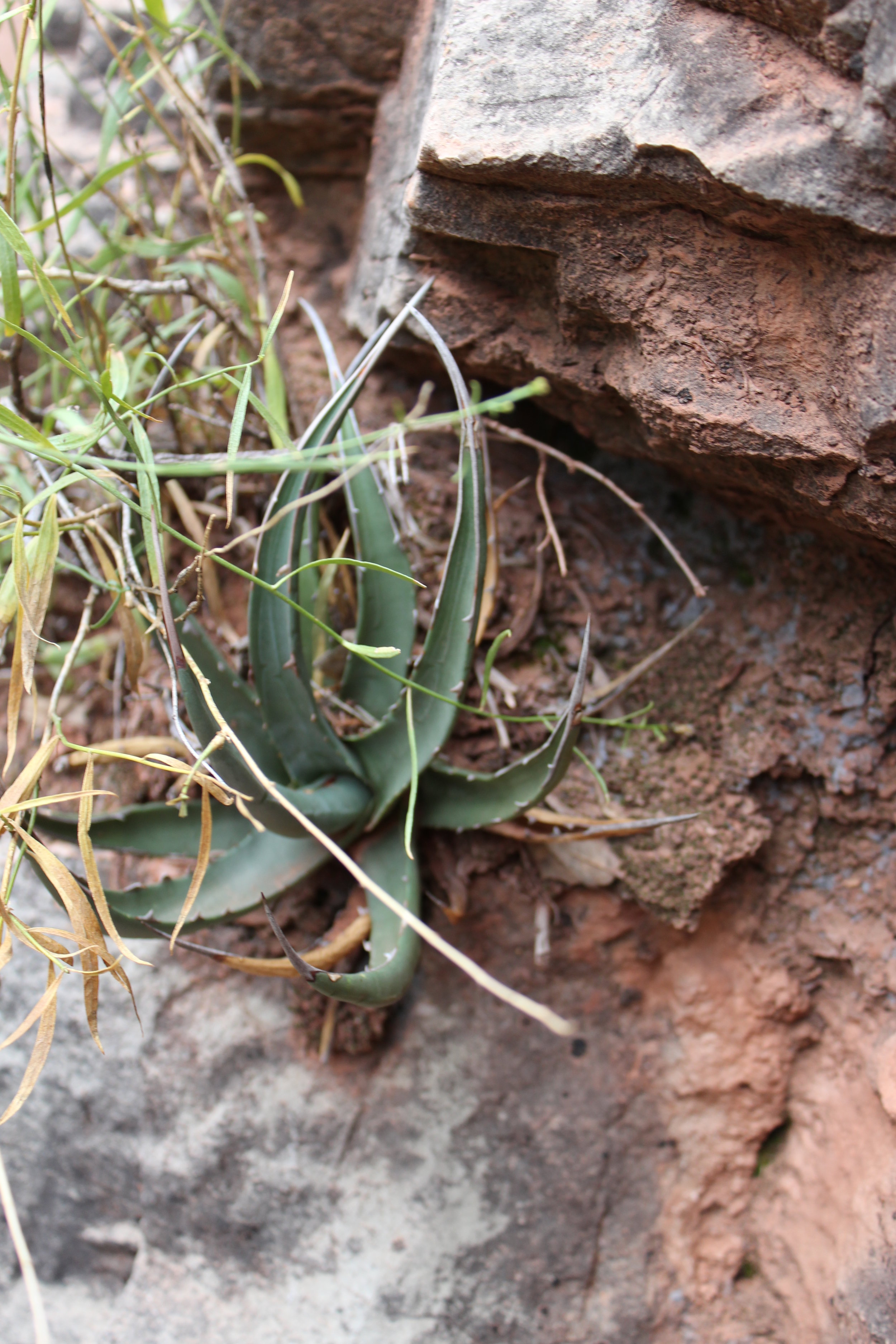
Tory poses at some Anasazi ruins.
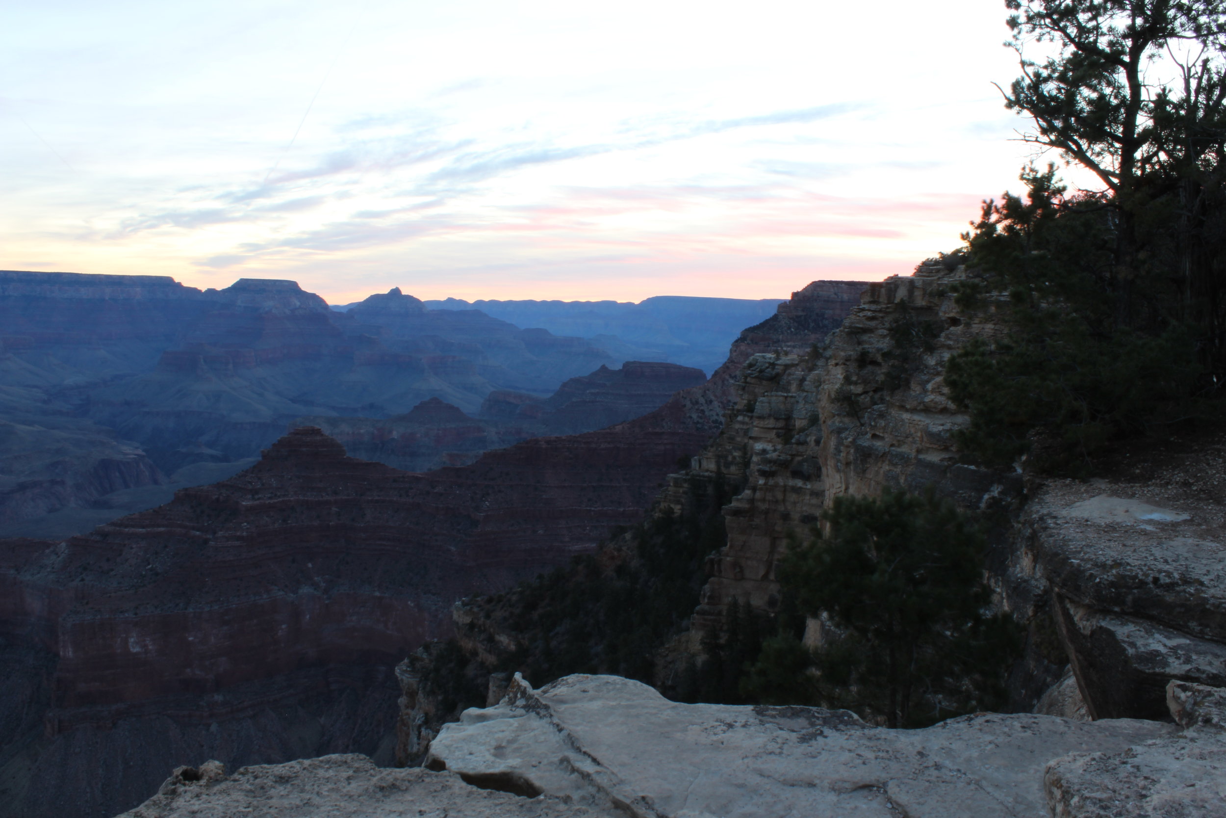
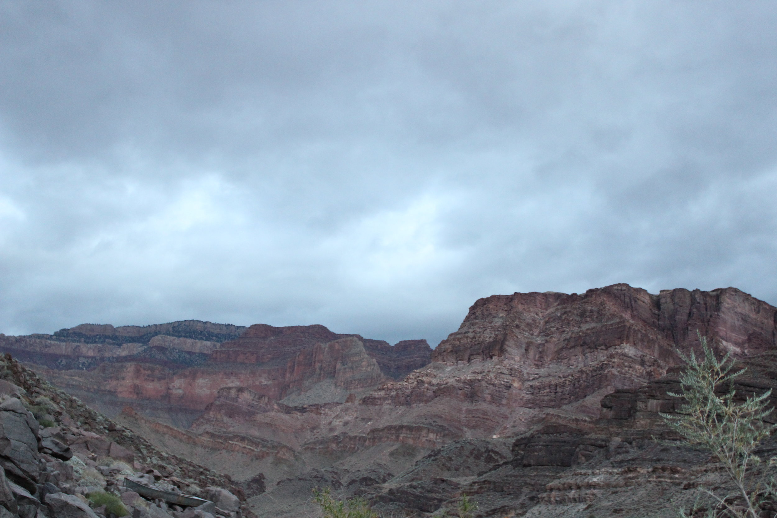
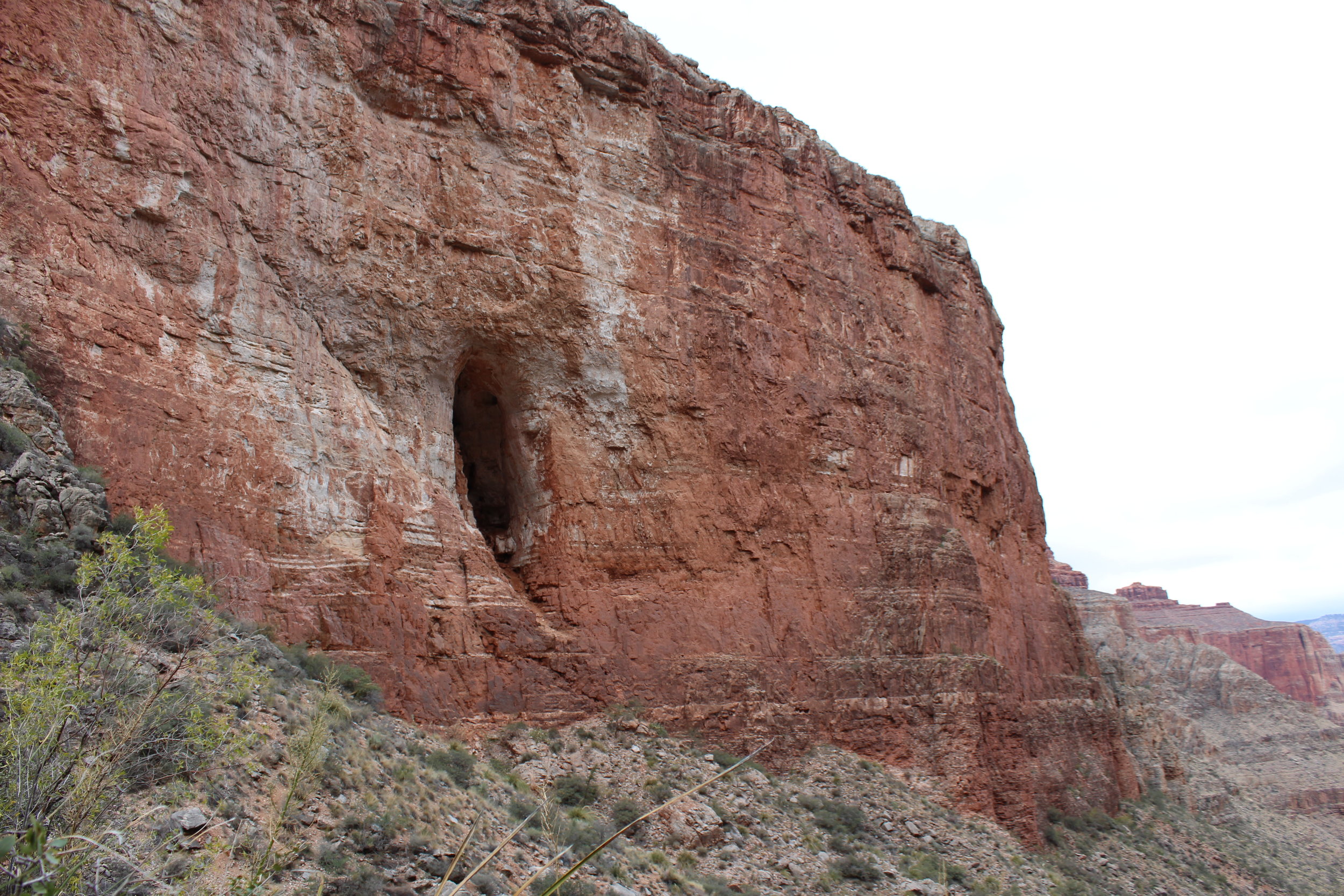
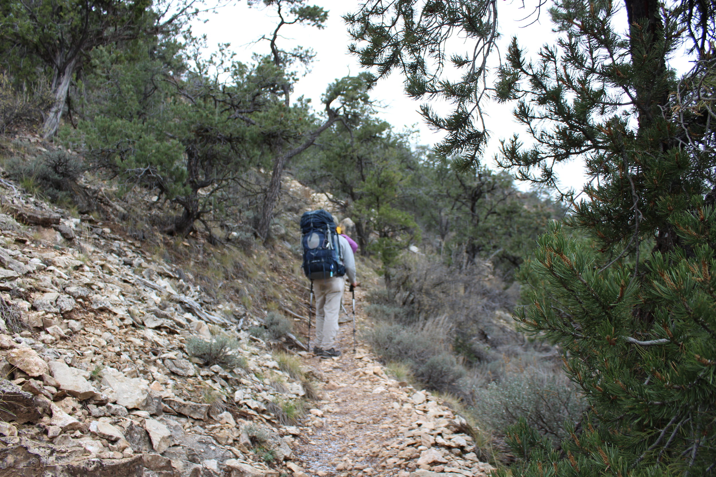
When we finally got started the morning sun was starting to take the edge off the chill on the rim. It was quick going through the first few layers and down to the Esplanade. We stopped to admire some ruins at the base of the Toroweap Formation. It was so nice to be heading back into the canyon. It's just so . . .huge. You really can't get a grasp of the size until you hike down into it's depths. Then you see it surrounding you, stretching off in every direction. Then someone shows you a map and you see how very little of it you can actually see. And if you're like me, you immediately ask "okay, how can I get to the rest?"


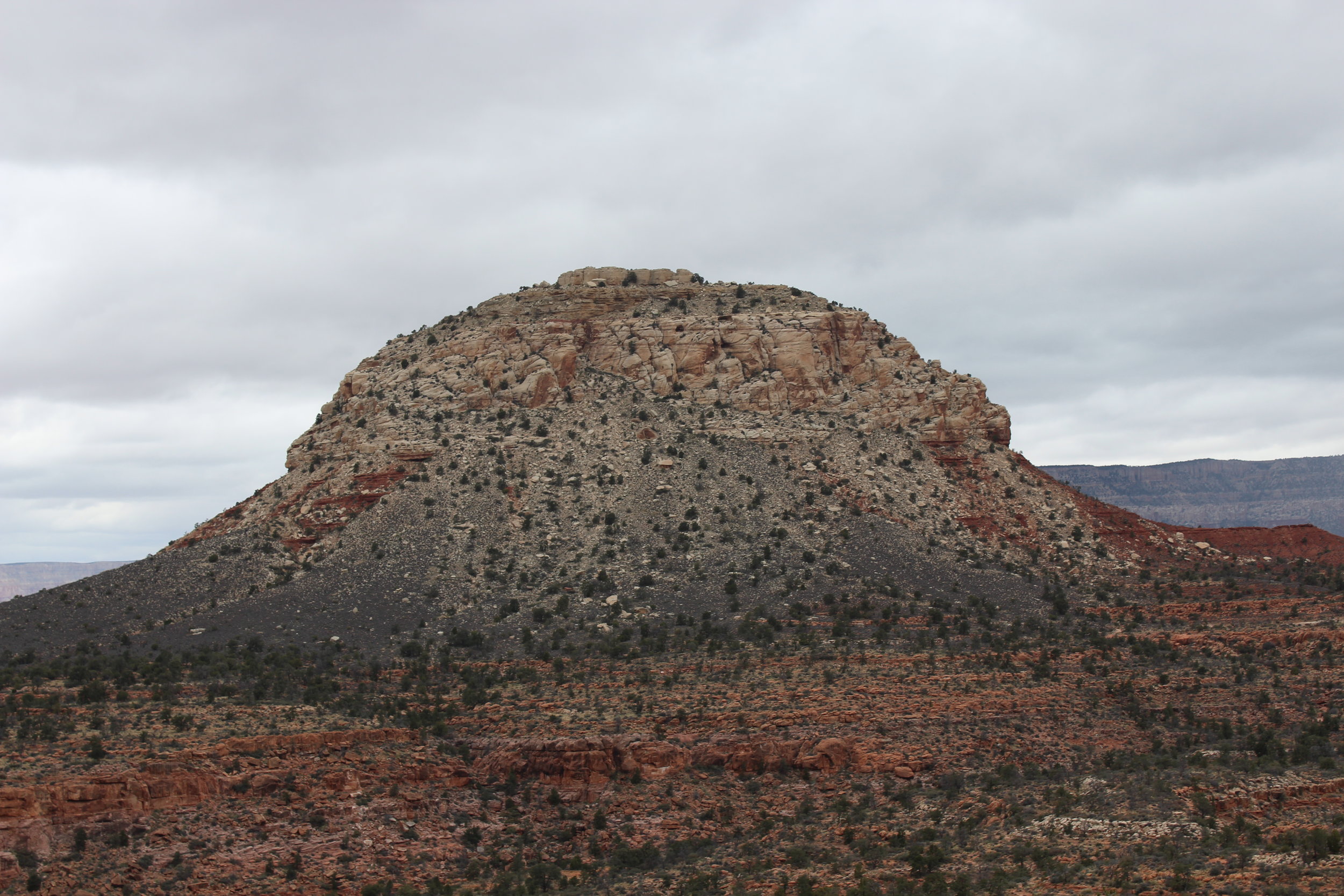
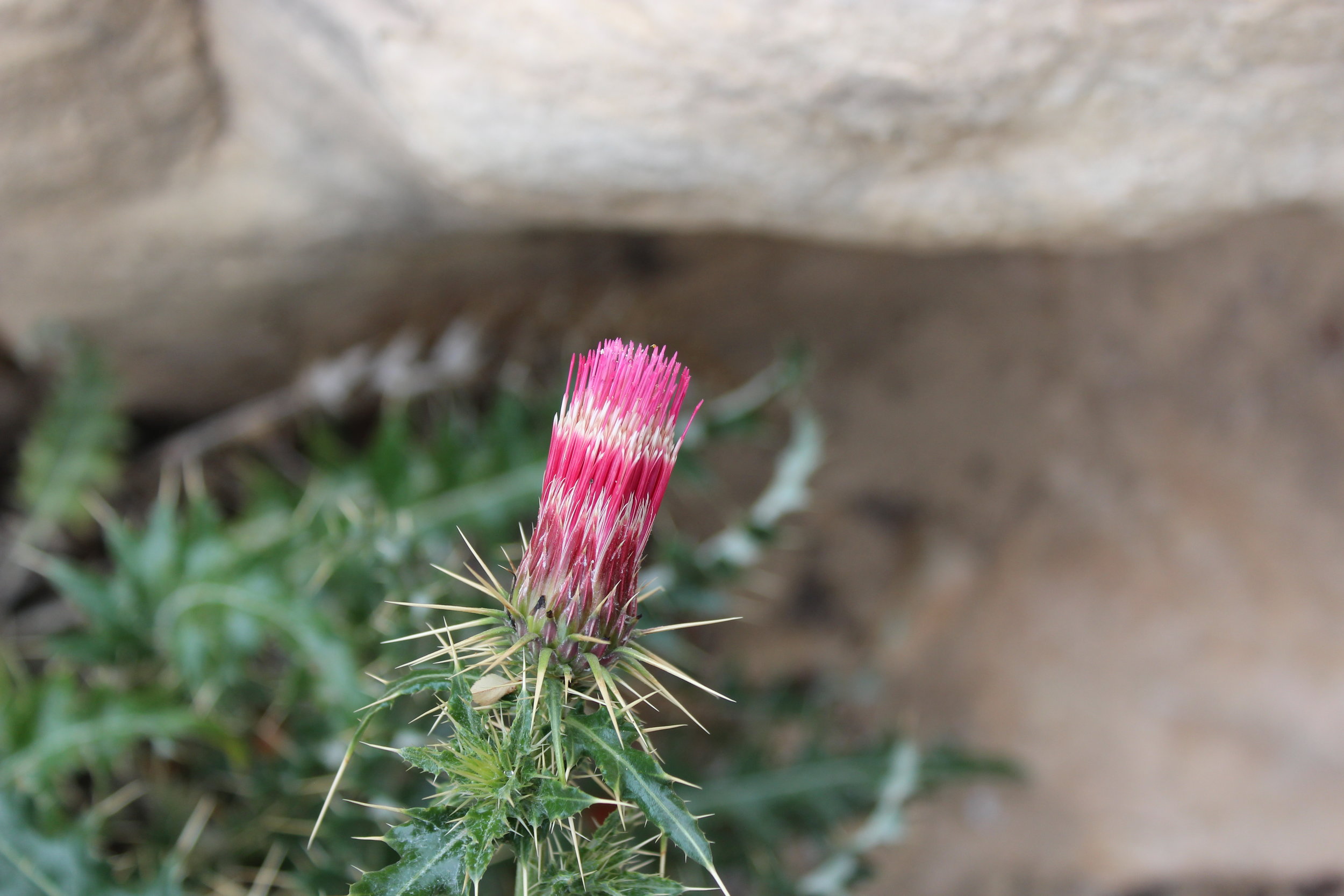
The Esplanade is a new formation for me - it doesn't exist in the corridor. It's a flat expanse of red rock and dirt, covered with cactus, juniper, and crypto soil. We stopped here for lunch to admire it. From this point forward we'd be dropping fast through layers until we reached the Tonto Plateau. I took plenty of opportunities to test out my new camera. I dreamed about climbing Mount Huethawali, (we-the-WAlly) picking my routes up the south slope. At the north end of the formation a USGS benchmark marked the spot our trail took us down. We said goodbye to the esplanade and made our way through the stepped Supai Formation.
We took a break to enjoy the view from the Supai.
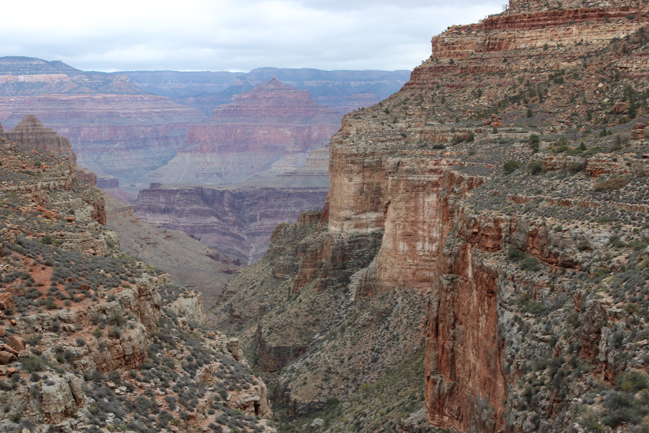
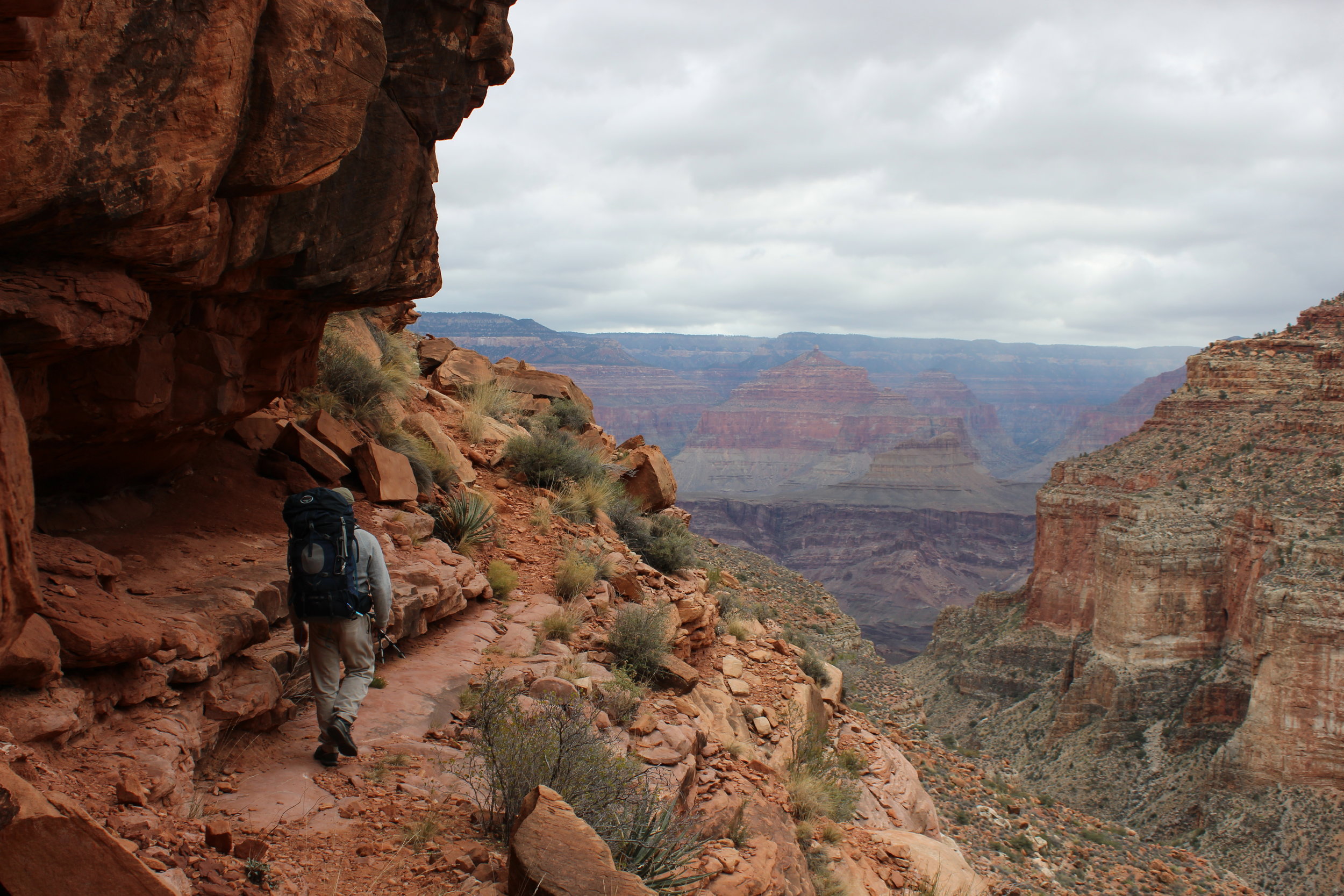
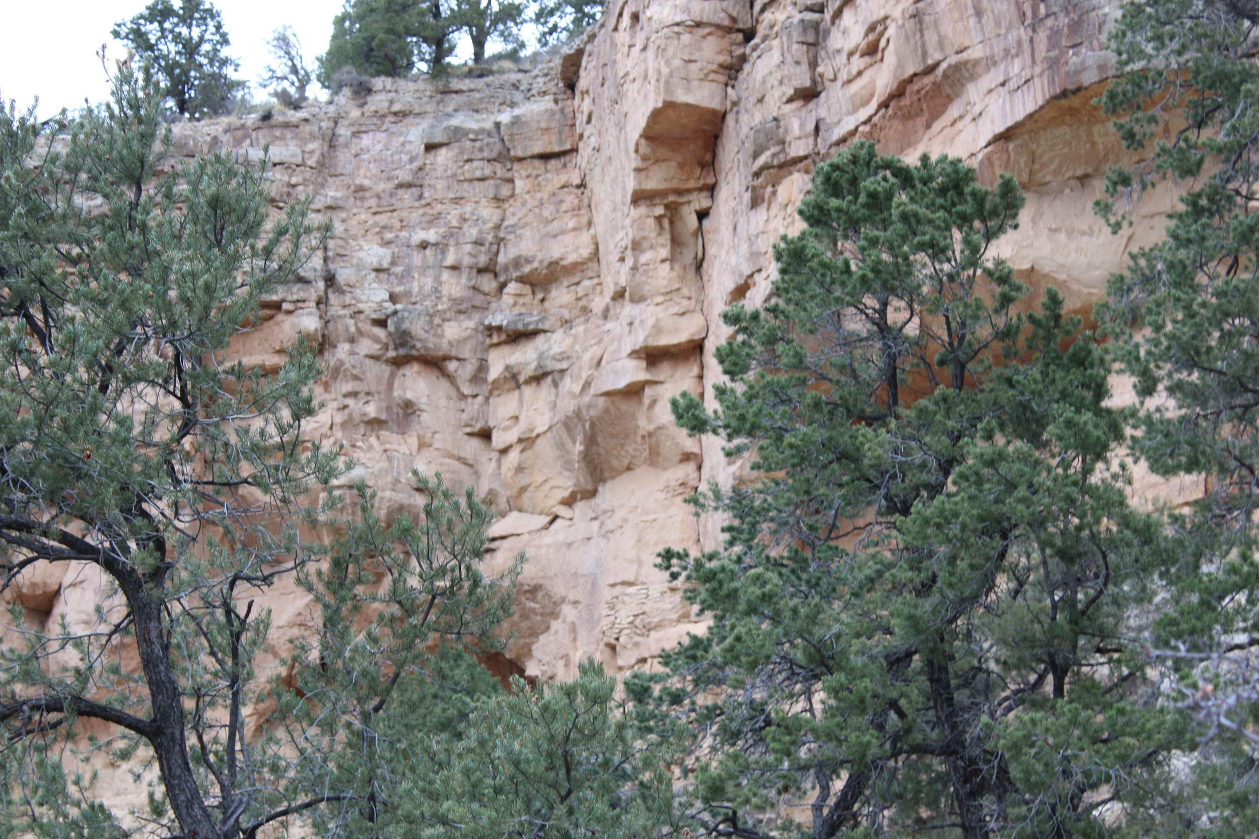
The trail winds all the way back into the depths of Bass Canyon as it creeps down toward the Redwall. We stopped to enjoy the view from a promontory then had lunch at a rest stop frequented by Bass a century ago. Finally we dropped into the Redwall, a place so steep it makes contour lines do unnatural things. This is the 2nd of the barriers to reaching the bottom. The debris slopes at the back of Bass Canyon provide a ramp to the narrow gorge below. The trail finally starts showing it's wildness here as it dips and ducks around boulders and trees. But in time it opens back up, providing a splendid route down to the Tonto.
I asked Jim about the Tonto Trail here, and decided that if I had only brought my running shoes, I could've used it to run back to Grand Canyon Village. Maybe next year.


We kept descending, pushing below the Tapeats Sandstone without hardly noticing it. I think we were all focused too much on reaching the river and on a unique formation, unofficially called "Party Barge on a Whale's Back."
Twisting narrows in the colorful Dox layer of the Supergroup.
People always ask me* "So Mark, what's your favorite layer in Grand Canyon anyway?" Before this trip I would stammer through the relative advantages of the Supai's red staircase vs. the stark white cliffs of the coconino. But after this trip I can confidently say my favorite is the bottom layer: Vishnu Shist. It's dark rock perfectly reflects it's place tucked away in the depths of the canyon. Only the most daring adventurers get to see it's smooth grays stricken with veins of brilliant red granite. And the canyons formed through it are incredible. Bass Canyon has them in spades. Waterfalls, potholes, pouroffs, slides, all twisted into an otherworldly labyrinth.
AHHH but the supergroup is awesome too.
Anyway, we worked through both these layers. I snapped pictures left and right just hoping a few might do it justice. They don't of course.


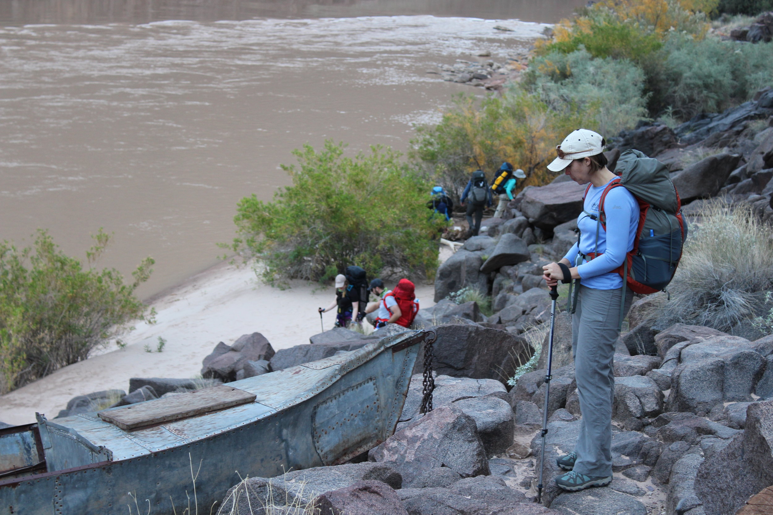
At the end, the trail hops out of the canyon and contours a few hundred feet above the chocolatey river. Jim, Tory and I had fallen behind at this point and we were afraid the group would miss the turn-off to the beach campsite. We hustled ahead and barely caught Maxime and Julie as they were getting close to rounding a corner about 500' beyond the turnoff. They signaled the rest of the group and once we were all together again we scrambled down to the beach. We made it to the river with time to explore, rest and set up camp. Tory and I set up our tent but once again we left our sleeping bags out to sleep under the stars.
The gang makes their way down to the river.
Dinner that night was a tasty salmon mushroom pasta Tory had dehydrated at home, followed by camp brownies. We shared our dining room with the locals - the mice living in the rocks behind the beach. Try as we did, we dropped a few crumbs and that was all it took to inspire bravery in these little guys. I admit I was a little afraid I'd go to bed only to wake up to company in my sleeping bag.
We cleaned up and said goodnight. I crawled in my sleeping bag between Jim and Tory, did a little logging, then turned out the lights. I watched the stars until I fell asleep.
Day 2
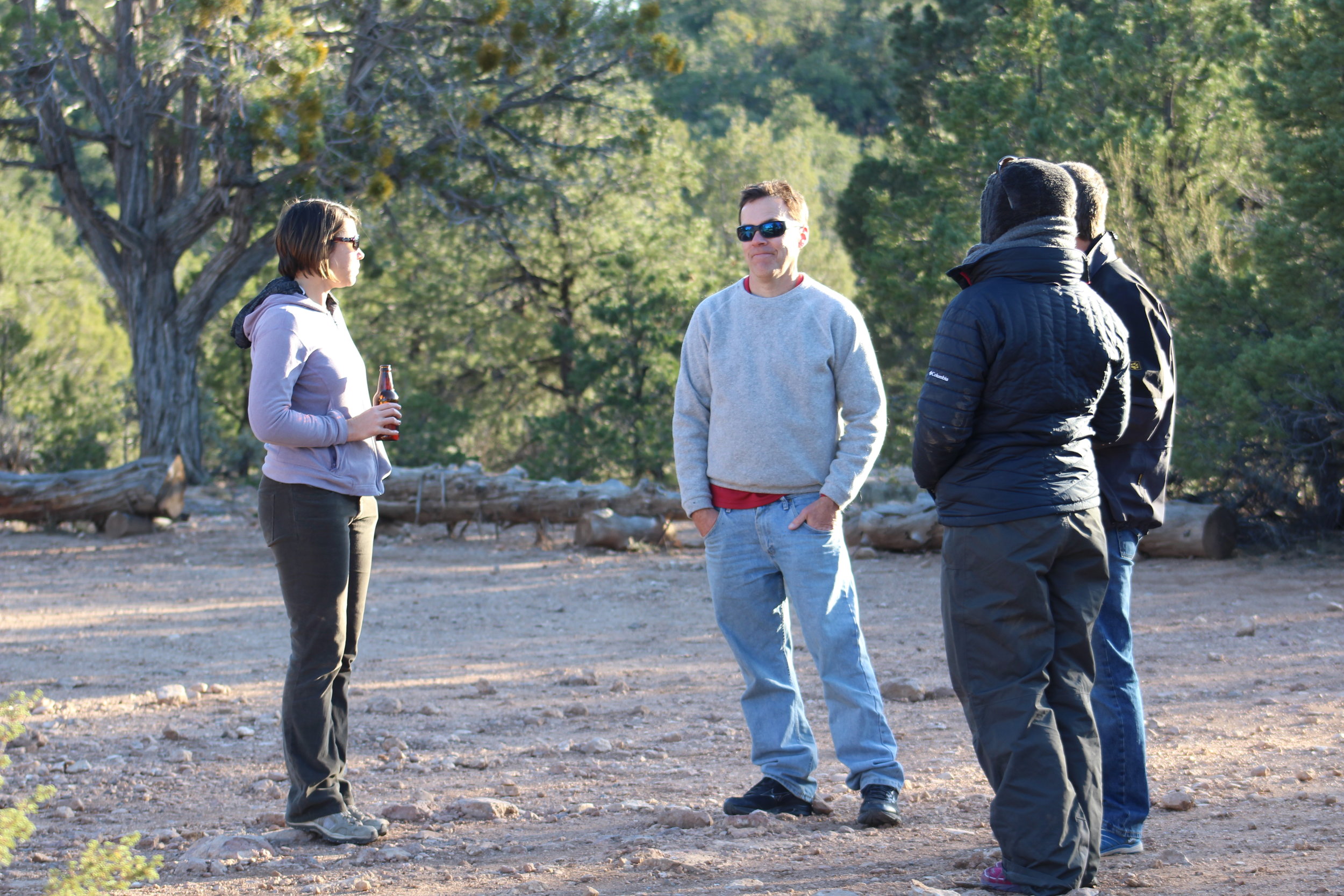
Day 2 was one of my favorite days in the canyon ever. I woke up to the rumbling sound of Bass Rapids, The sun was up but hadn't penetrated the canyon yet. While everyone else slept I got up and wandered the beach and surrounding rocks. When I got back the sun had lit up the beach and the rest of the camp was stirring. We made breakfast (quinoa) and talked about plans. Most of the group was either staying at camp or hiking the trail above the river. Jim had other plans though. The Tonto Trail is a 70 mile long trail the works it's way all the way from the Little Colorado confluence to Garnet Canyon, well beyond Bass Canyon. Jim had hiked all but 1.5 miles just above Bass Canyon. He wanted to finish it, and Tory and I were thrilled to help him try.


Getting to the Tonto involved one of my favorite things to do in the canyon: finding and following an old, poorly marked unofficial route through the layers. We hiked back up out of Granite Gorge and into the supergroup, keeping our eyes peeled for cairns that mark the route through the Tapeats. After one false positive we spotted a cairn on the slope above the trail. Then a second cairn spotting confirmed the route. We cut off the main trail and started picking our way up the slope.
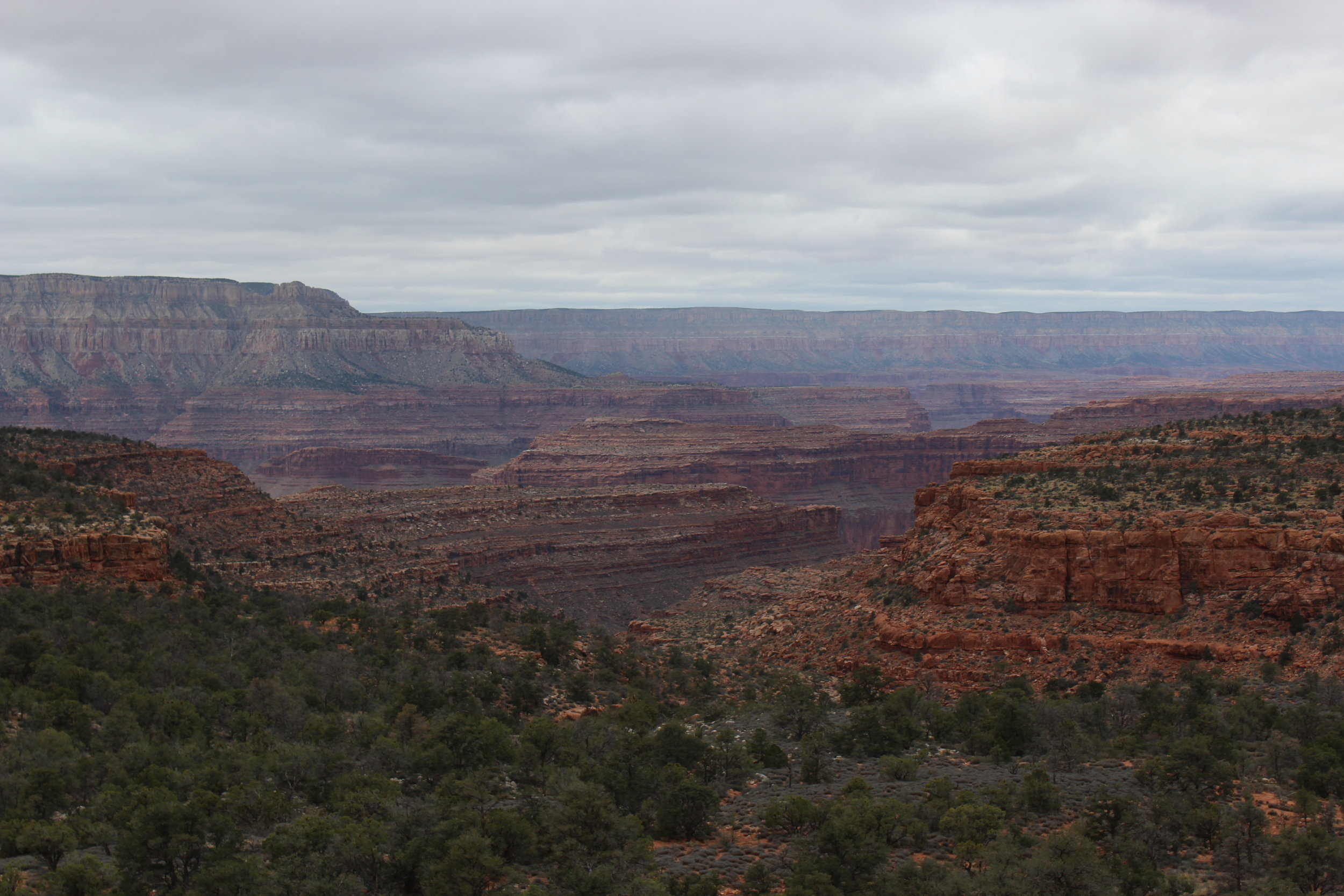
The route winds through the Tapeats sandstone, my other favorite layer. It actually took us right behind the Party Barge on a Whale's Back we spotted the day before. I looked for a route to the top of the barge but it was far too sheer. The route wrapped around, slowly climbing through the tapeats until a big cairn marked the junction with the Tonto. The view from this level is incredible.
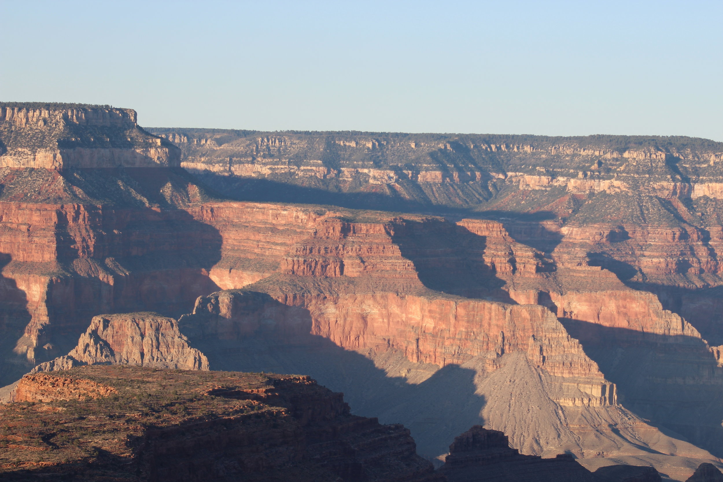
Looking down from the Tonto Trail
I wanted to head west for a bit to see what was around the corner. The problem with "peeking around the corner" in the Canyon is that you'll just find another corner that demands peeking. It can be maddening in that way. Grand Canyon has more hidden places and corners worth peeking around than I could possibly explore in a lifetime. Even as I write this I'm thinking "Why am I wasting time writing? I should be hustling across the Tonto to descend Copper Canyon (or looking for a pass from North Bass to the slot at the bottom of Hotauta Canyon, or rapping into Elves Chasm, or. . you get the picture). We contented ourselves to gaze into Shinumo Canyon across the river and watch the Colorado disappear behind the sheer walls of shist and sandstone as it continued it's descent to Lake Mead.
The Tonto Trail is a delightful trail. It stays mostly level as it doges, dips, ducks, dives, and dodges into every little canyon, arroyo and wash it passes. This far from the corridor it can be a bit hard to follow but we never lost it for long. The 1.5 miles went by too fast and soon we were back at Bass Canyon celebrating with Jim.


Tory helps Jim celebrate his completion of the Tonto Trail
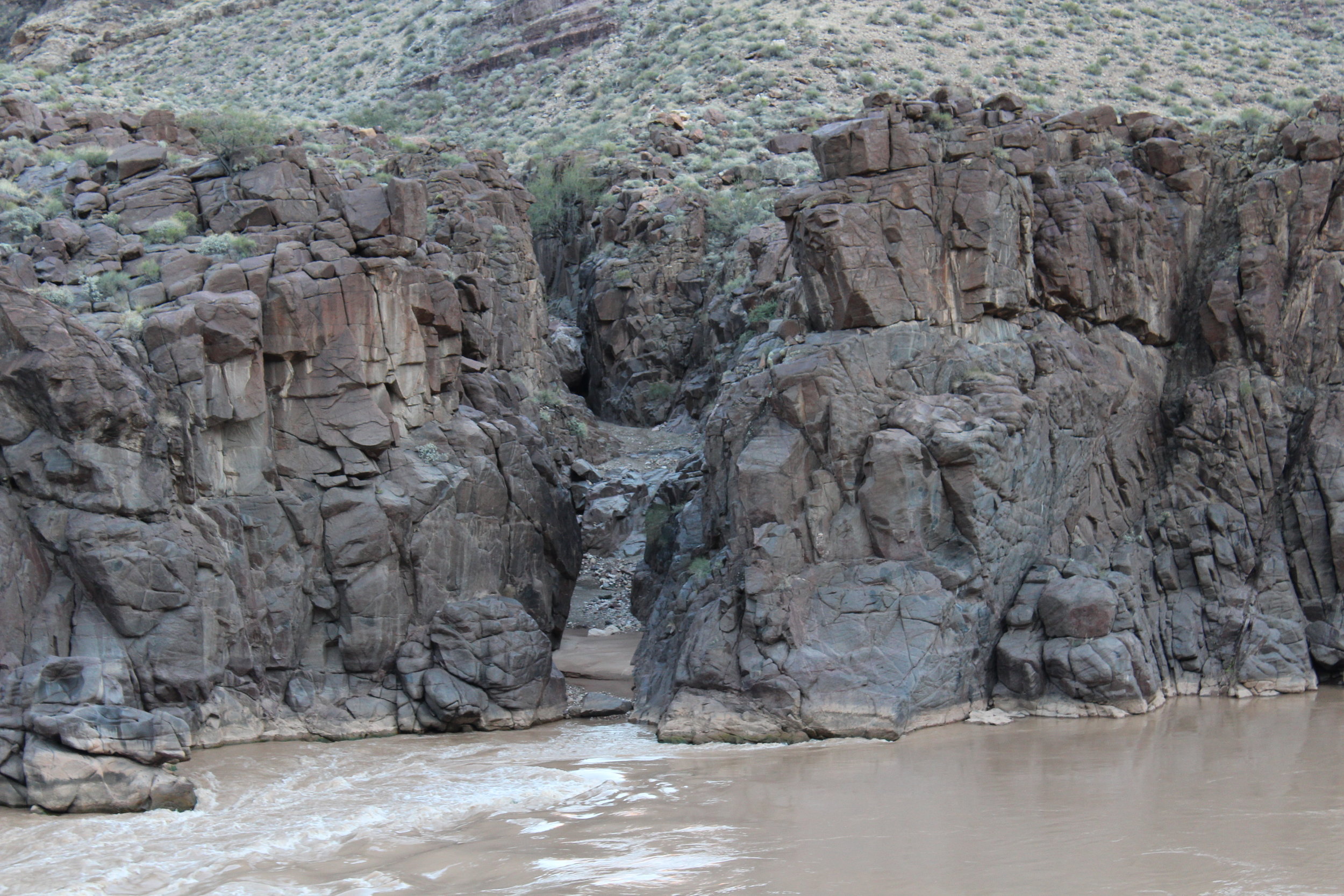
Hiking back down I realized we still had time to explore before dark. We abandoned the trail and opted to instead descend directly down Bass Creek as far as it would take us. I highly recommend trying this in any canyon, whenever you have a chance. It's always a joy and a challenge. Just google "monument creek narrows grand canyon" if you don't believe me (fine, i'll do it for you). Bass Creek ALMOST reaches the river before forcing you to turn around - or rappel if you're equipped for it. From the top of the pouroff we could see our campsite and companions below. They seemed to be waiting for us to return to make dinner. Jim and Tory initially didn't want to make the final slide down to the pouroff but I convinced them it was worth it - it was - and I was very happy they came down so we could share the experience.
At the top of the pouroff.
Finally we made our way back to camp. Tory made her delicious chili and everyone hungrily gobbled it up. We then made a pot of chocolate fondue and attacked it with graham crackers, nutter butters and mangoes. Jim shared his most infamous Canyon stories, and we all sat enthralled before sharing our own stories of adventure. The mice came out to join us and Claudia savagely defended our camp. At least 3 different types of alcohol were passed around until empty.


Unfortunately the forecast called for rain. The clouds hid the stars so once dinner was finished we crawled into the tent for bed. We would be waking before dawn for the long hike up.
Day 3
Okay, I at least thought it would be a long hike up. Right out of the gate Todd, Claudia, Maxime and Julie took off and we didn't see them again until the rim. Jim hung in the back to make sure everyone made it out okay and Tory and I stayed close with him. I made a few pit stops along the way (particularly to check on the spider we rescued the day before - :( he didn't make it). We eventually caught up with Stacey and together the 4 of us made the trip in just under 7 hours. As we neared the top the clouds moved in, hiding the north rim. The snow started falling on the Esplanade and by the time we got back to the trailhead there was a thin blanket draped across the forest.
The road out to Bass Trailhead is rough, but even worse when it's covered in snow. We took it slow an all made it out without any problems. By the time we got back to the village there was 3" on the ground with no sign of stopping. The shuttle service was suspended due to weather (a fact we learned only after about 20 minutes of waiting in the cold) so we drove ourselves out to Bright Angel Lodge for a celebratory dinner.
Epilogue
It was hard to believe (and still is) that it will be another year before we return. Grand Canyon has a draw unlike any other place I've been. By the time we hit the AZ border I was already making plans for next Thanksgiving. It can't come too soon.
Explore more . . .
Canyon Hiking - Corral Creek Gorge - Ding and Dang Canyons
Grand Canyon - Bright Angel Creek - Phantom Creek
Arizona Hikes - Humphry's Peak
*nobody actually asks me this.